FAQ
DEM to SVGZ Conversion
What are DEM files?
DEM is a text-based digital elevation model format originally developed by the United States Geological Survey (USGS) for its national series of terrain data, and adopted by Natural Resources Canada for the Canadian Digital Elevation Data (CDED) product. A file of this type stores a regular grid of terrain heights derived from topographic maps, aerial photography, or other sources, and is organized into a header record, a series of elevation profiles, and an optional accuracy record. The header describes the quadrangle name, the coordinate system, the units, the corner coordinates, the elevation limits, and the grid spacing. USGS files are distributed as 7.5-minute quadrangles with 30-meter spacing in UTM coordinates, or as 1-degree units with 3-arc-second spacing, while CDED files are based on National Topographic System map sheets and use geographic coordinates.
What are SVGZ files?
SVGZ is an extension attached to SVG (Scalable Vector Graphics) images with GZIP compression. Such files can contain animations or interactive graphics, including vector objects, images and text, while supporting layer rendering, transparency, filter effects and several other features. As a version of SVG, the SVGZ format is based on an open standard and uses the XML markup language, being supported by most web browsers. The main advantage of SVGZ over its uncompressed variant is size, which can be 20 to 50 percent smaller.
Can reaConverter convert DEM to SVGZ?
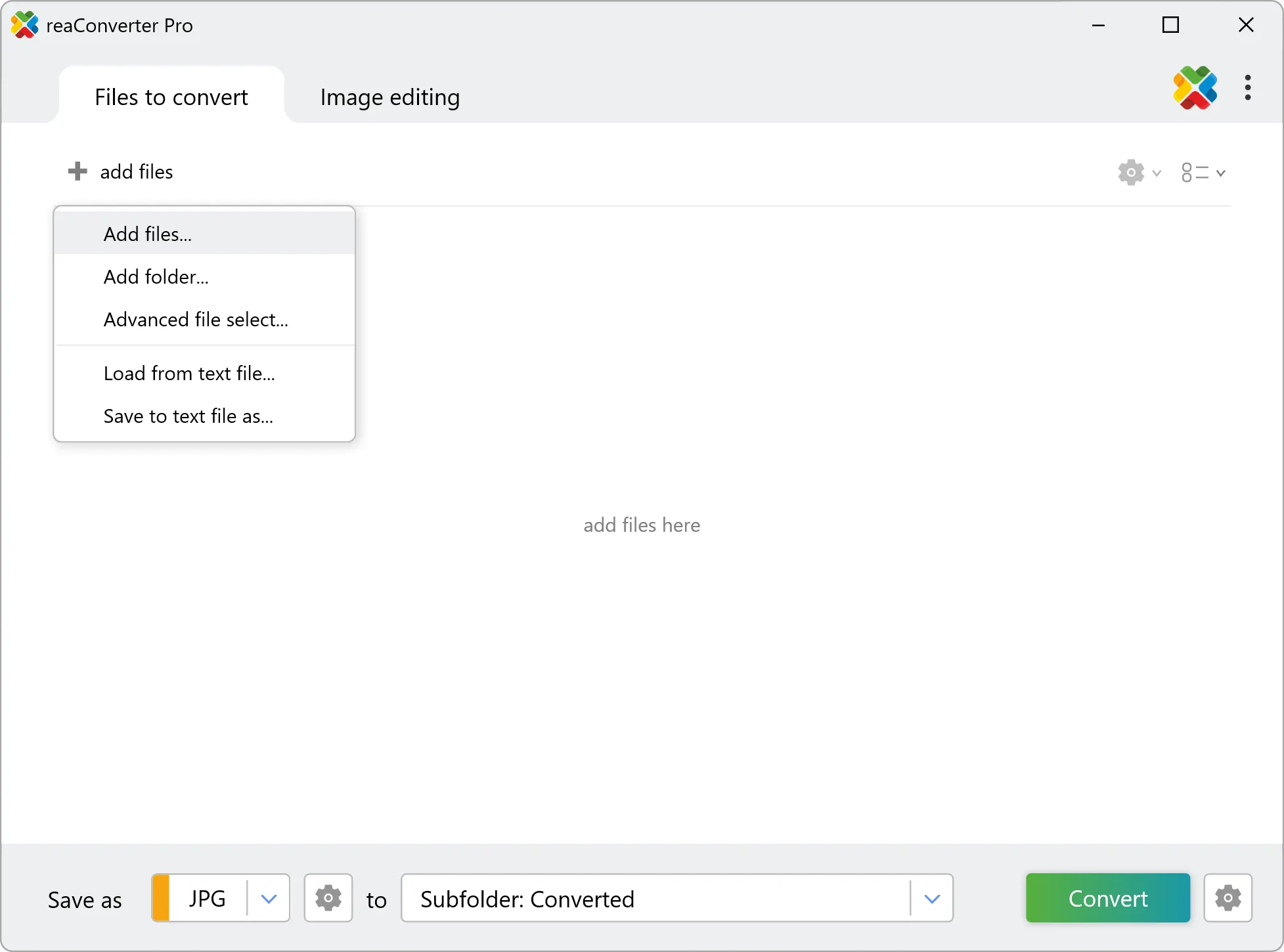
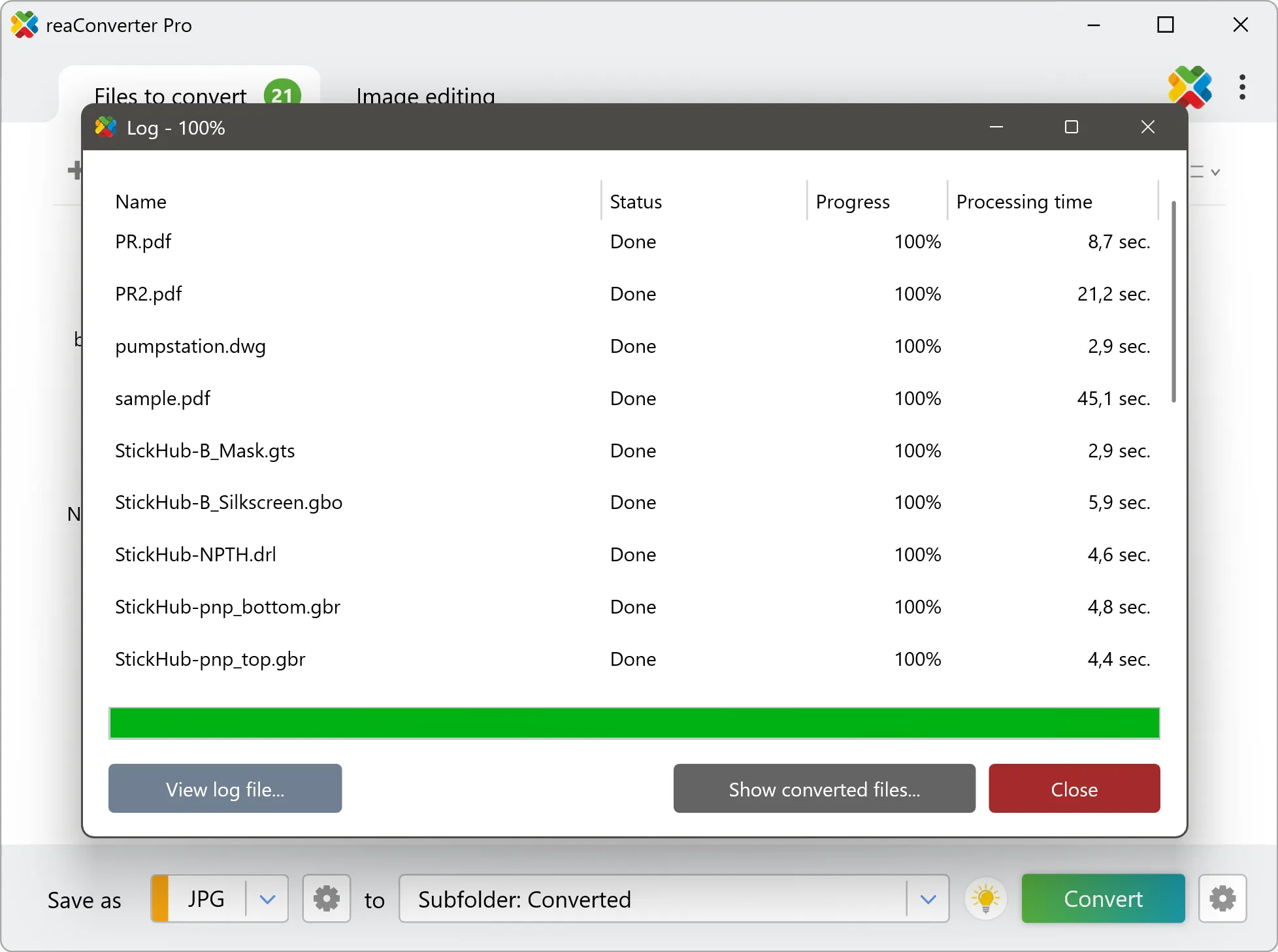
Yes! reaConverter instantly converts .dem to .svgz with perfect quality preservation. With its batch processing feature, you can convert multiple files at once in just a few clicks. You can even convert images directly from Windows Explorer using the right-click menu — fast and convenient.
What is reaConverter used for?
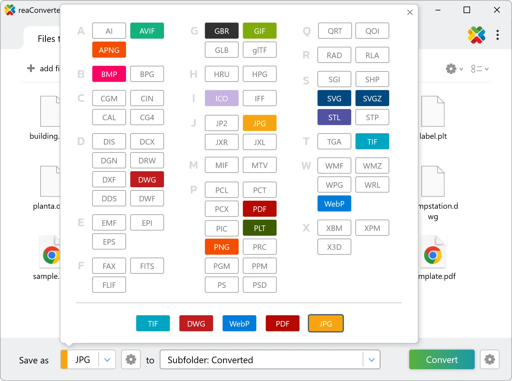
reaConverter is a Windows converter for 800+ formats, GIS data among them. For DEM to SVGZ it replaces the usual detour through QGIS, ArcGIS or ogr2ogr: add the files, pick the output format, and the whole batch converts offline. Surveyors, planners and engineering teams use it to pass data between GIS, CAD and everyday document formats.
Why choose offline conversion with reaConverter?
reaConverter is a software program that is used for offline files conversion. Your proprietary documents never leave your computer – essential for architects, engineers, healthcare and government contractors handling classified projects. Meets GDPR, HIPAA, CCPA, and corporate security policies by ensuring files never cross borders or third-party systems.
Can I convert DEM to SVGZ online?
If you only need to convert a few DEM files to SVGZ format, feel free to try our free online free online DEM to SVGZ converter — perfect for small batches with no installation needed!
How can I turn DEM files into SVGZ on my computer?
The best way to change DEMs to SVGZs on your PC is to install a quality piece of software, such as reaConverter. This software is extremely efficient in managing a wide range of batch files conversions, including conversion from DEM to SVGZ.
How can I automate DEM to SVGZ files conversion?
reaConverter supports all the most useful automation features such as right-click сonversion and Watch Folders for the most efficient automated files conversion in any software of this type.
Is there a way to convert DEM files to SVGZ using the command prompt?
reaConverter provides full access to all its features via Windows command line, including a high-performance command-line dem to svgz converter for batch processing.
What else can I do with reaConverter?
Convert PDF filesAdd watermark on imageConvert DICOM filesCrop photoChange format settings
Related conversions
Other ways to convert DEM files, and other sources that convert to SVGZ.