GEOJSON Converter
Offline GEOJSON converter with professional output. reaConverter keeps your files secure while you work.


How to Convert .geojson Files in Bulk
1. Install reaConverter
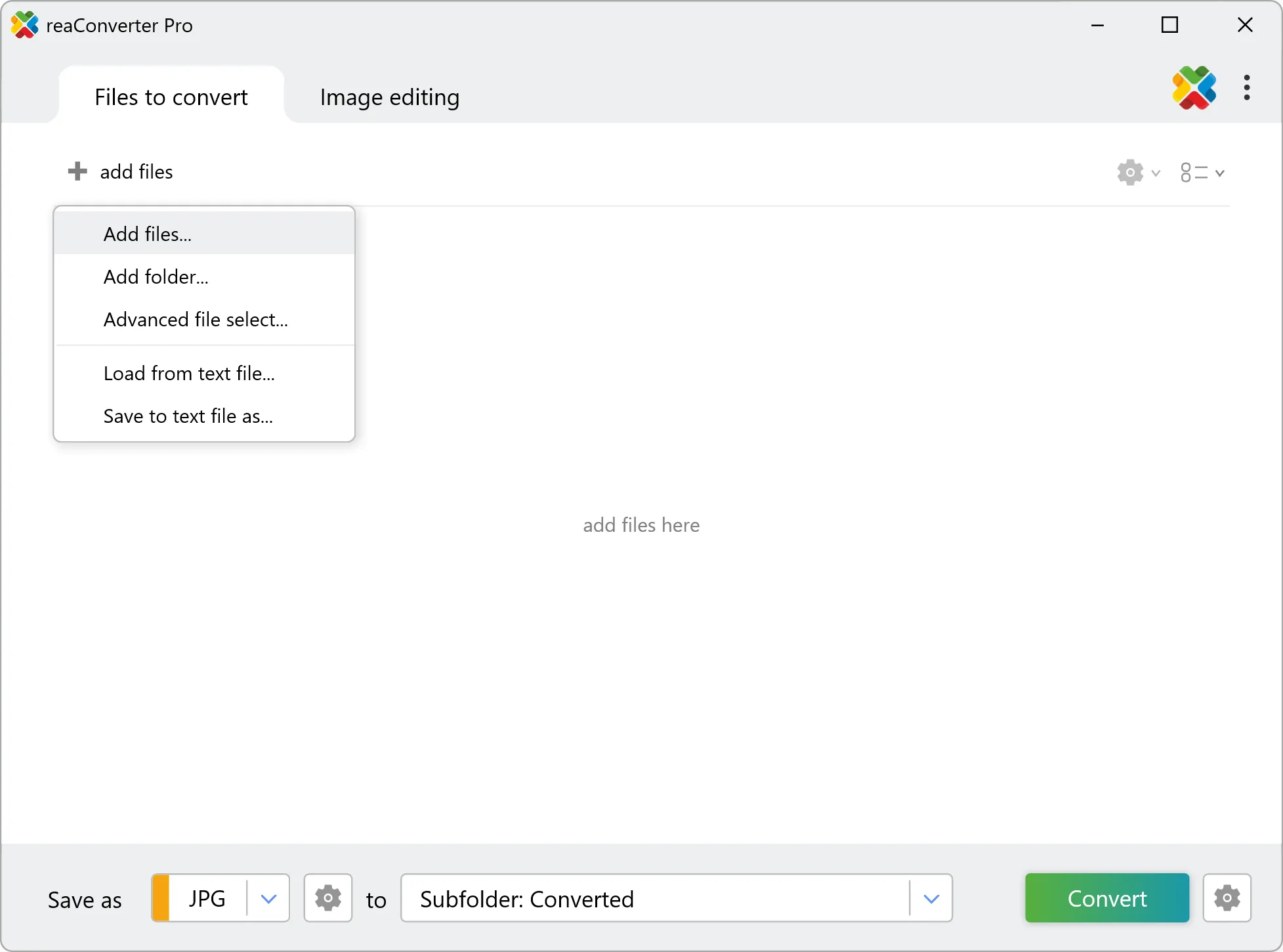
2. Select GEOJSON Files

3. Start Conversion

Convert GEOJSON on your PC
For quick and effortless GEOJSON file handling on your PC, reaConverter offers powerful conversion tools with batch processing. Best of all, it works entirely offline — ensuring your sensitive data never leaves your computer.
Do more with your files
Converting GEOJSON files for use in a larger project? reaConverter offers many ways to process files, so you can customize them according to your requirements.
Our range of editing options includes auto-processing options such as auto-rotate, auto-crop, watermarking and more. Change Color Space, copy Metadata, set DPI, manage ICC Profile, control Bit Depth.

User Reviews
Average User Rating:Last updated on November 28, 2025


GEOJSON files: Frequently Asked Questions
What are GEOJSON files?
GEOJSON is a file format that is used for encoding geographic data structures that are represented as geometries, features, and collections. This file format is based on the JSON (JavaScript Object Notation) format and is used to store geospatial data in a structured format that is widely used in software development.
In .geojson files, geographic data objects are represented as JSON objects with specific properties and specified geometries, such as points, lines, or polygons. This allows for the data to be easily shared and consumed by different applications and platforms.
The .geojson file format is widely used in web mapping applications, as it can be easily read and rendered by web browsers and mapping libraries. It is also supported by many desktop GIS software packages.
Can reaConverter open GEOJSON files?
reaConverter fully supports the GEOJSON file format – open, edit, and export GEOJSON files to any other popular file format with ease.
How do I change GEOJSON to another format?
reaConverter is a user-friendly tool for converting GEOJSON files. Once installed on your computer, it allows you to convert all your .geojson files at once with just a few clicks. You can even convert geojson images directly from Windows Explorer using the right-click menu — fast and convenient.
Can I convert GEOJSON online?
If you only want to convert a few GEOJSON files, you are welcome to try our free online GEOJSON converter.
How can I turn GEOJSON files on my computer to another format?
The best way to convert GEOJSON files on your PC is to get a quality piece of software, such as reaConverter. This software is extremely efficient in managing a wide range of batch files conversions, including conversion from GEOJSON.
How can I automate GEOJSON files conversion?
reaConverter supports all the essential automation features, such as right-click сonversion and Watch Folders, for the most efficient automated file conversion in any software of its kind.
Can I convert GEOJSON files using scripts or the command-line interface?
reaConverter provides full access to all its features from the Windows command-line shell, including the command-line geojson converter.
What else can I do with reaConverter?
Convert Gerber imagesCrop imagesConvert CAD formatsChange bit depthConvert vector images
What formats can I convert a GEOJSON file to?
Discover more

