GEOJSON to DIS Conversion: FAQ
What are GEOJSON files?
GEOJSON is a format for storing geographical data, compatible with several GIS programs. GEOJSON is a specialized version of JSON (Java Script Object Notation), an easy-to-use interchange format containing basic formatting rules for representing data, functioning as an alternative to XML. JSON files can be viewed with any text editor and are generally small-sized.
What are DIS files?
The DIS extension is associated with the DKB Ray-Tracer, a piece of software originally created by David Kirk Buck and Aaron A. Collins, which served as a predecessor for the POV Ray-Tracer. The latter software has the capacity to generate images from text-based scene descriptions and works on various platforms. Though fairly popular on PC/MS-DOS platforms at its release, the DIS format is now obsolete. It can, however, be viewed and converted to more accessible formats.
Can reaConverter convert GEOJSON to DIS?
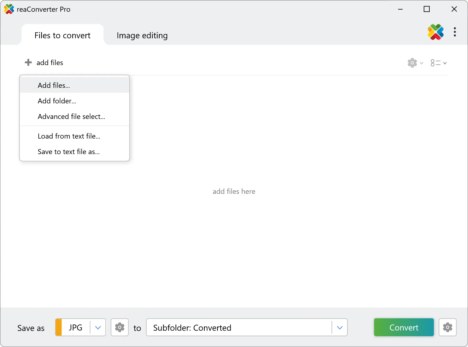
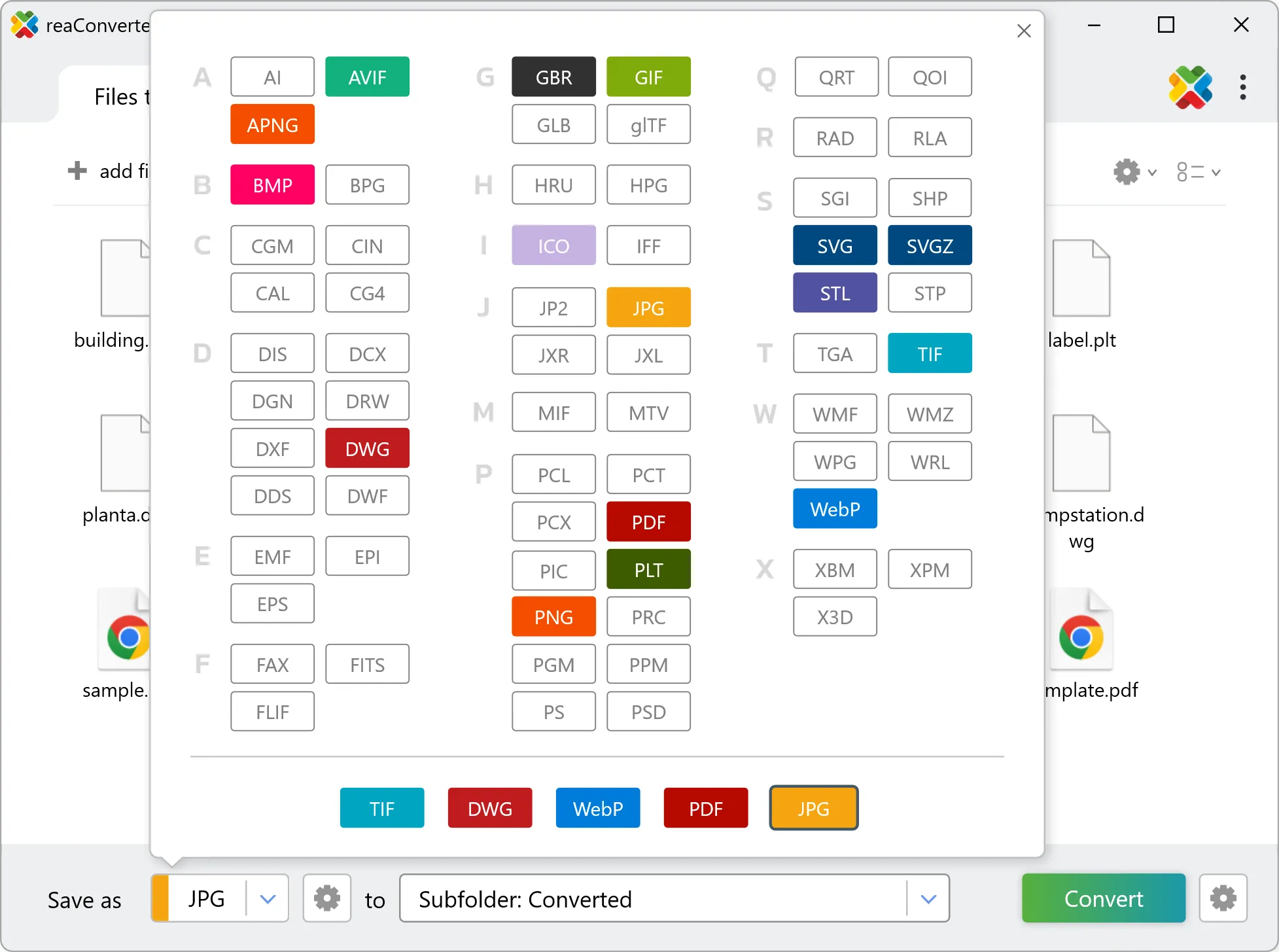
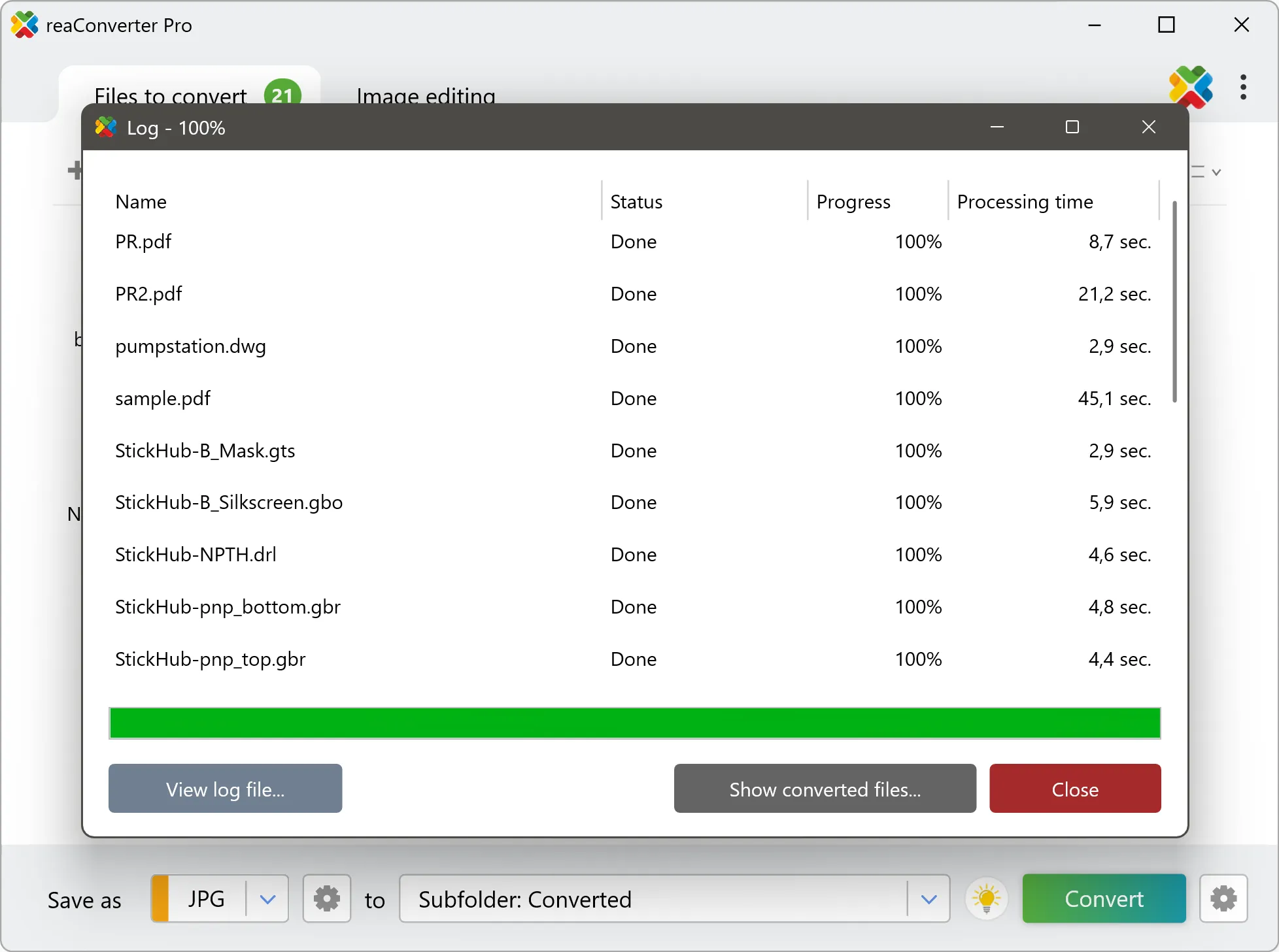
Yes! reaConverter instantly converts .geojson to .dis with perfect quality preservation. With its batch processing feature, you can convert multiple files at once in just a few clicks. You can even convert images directly from Windows Explorer using the right-click menu — fast and convenient.
Can I convert GEOJSON to DIS online?
If you only need to convert a few GEOJSON files to DIS format, feel free to try our free online free online GEOJSON to DIS converter — perfect for small batches with no installation needed!
How can I turn GEOJSON files into DIS on my computer?
The best way to change GEOJSONs to DISs on your PC is to install a quality piece of software, such as reaConverter. This software is extremely efficient in managing a wide range of batch files conversions, including conversion from GEOJSON to DIS.
How can I automate GEOJSON to DIS files conversion?
reaConverter supports all the most useful automation features such as right-click сonversion and Watch Folders for the most efficient automated files conversion in any software of this type.
Is there a way to convert GEOJSON files to DIS using the command prompt?
reaConverter provides full access to all its features via Windows command line, including a high-performance command-line geojson to dis converter for batch processing.
What else can I do with reaConverter?
Convert Gerber filesCrop imagesConvert GIS filesChange format settingsChange picture DPI