TOPOJSON → TIF · Windows

Convert TOPOJSON to TIF

Need TOPOJSON data as TIF for someone without GIS software? reaConverter handles the conversion offline and in bulk.

Looking to change TOPOJSON files to TIF format? reaConverter makes it simple — add your files, select output format, and convert entire folders in one click. Runs entirely on your hardware for maximum speed, so you never wait for uploads or server queues. Handles whole folders of tiles and layers in one run, with identical settings on every file.

.topojson.TIF
4.8

Converting files since 2001

Runs offline — nothing uploaded

Read what our users say →

How to Convert Multiple .topojson Layers to .tif?

1. Download and Install reaConverter

reaConverter installs quickly on any Windows PC. No dependencies, no bloatware — just a clean setup that's ready to use immediately.

2. Load your TOPOJSON files

Start reaConverter and add your .topojson files. The software processes everything locally, so your files never leave your computer.

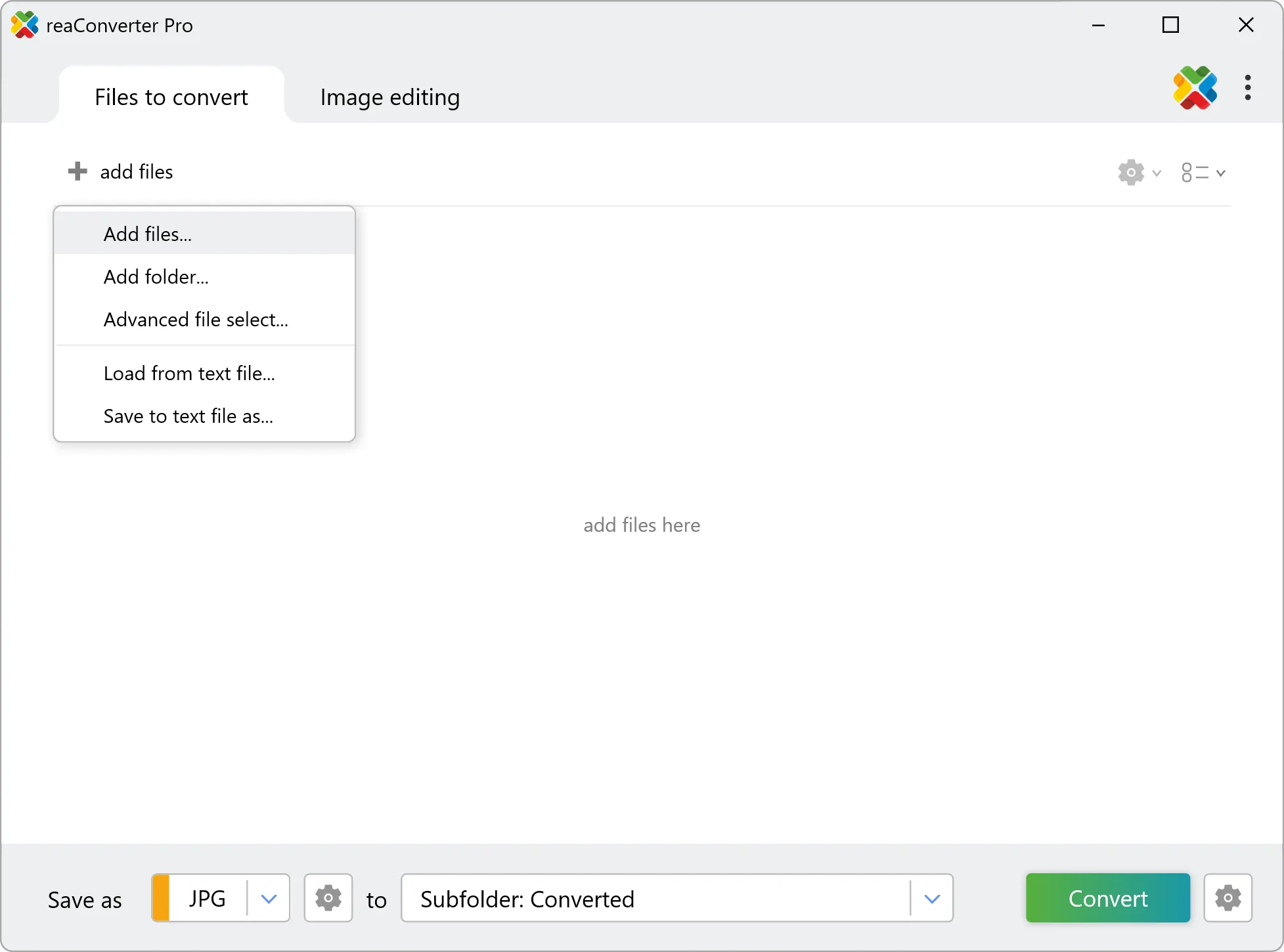
Use drag-and-drop, folder browser, or right-click conversion from Explorer.

Load your TOPOJSON files into reaConverter

3. Select TIF as output format

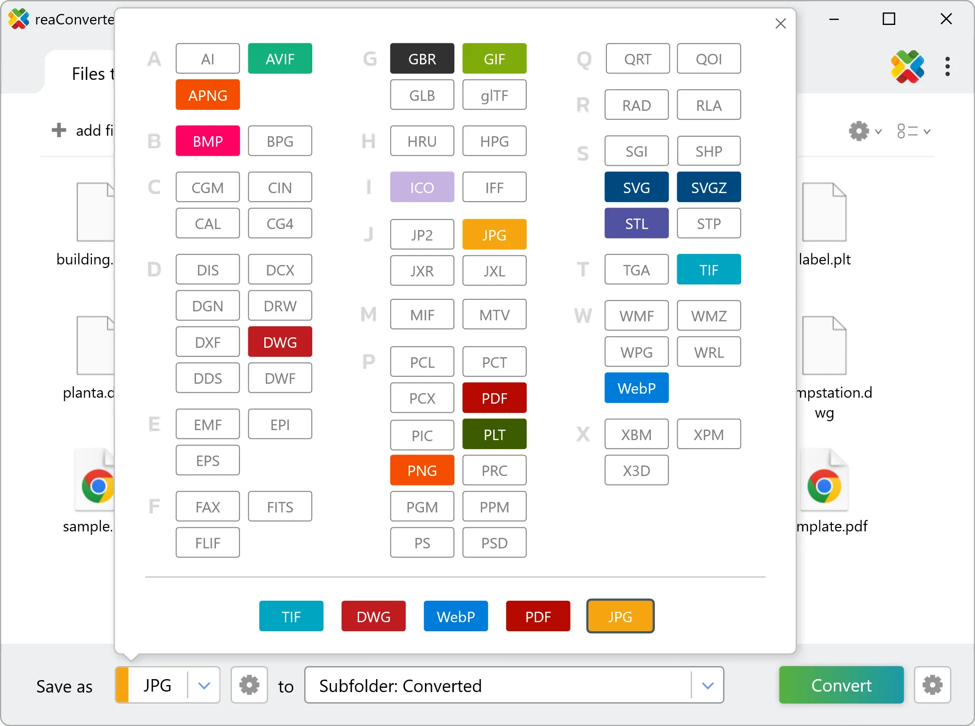
Choose TIF and set a destination folder. Before passing the result on, open it in a GIS once and confirm it lands in the right place on the map.

Select TIF as output format

4. Start TOPOJSON to TIF conversion

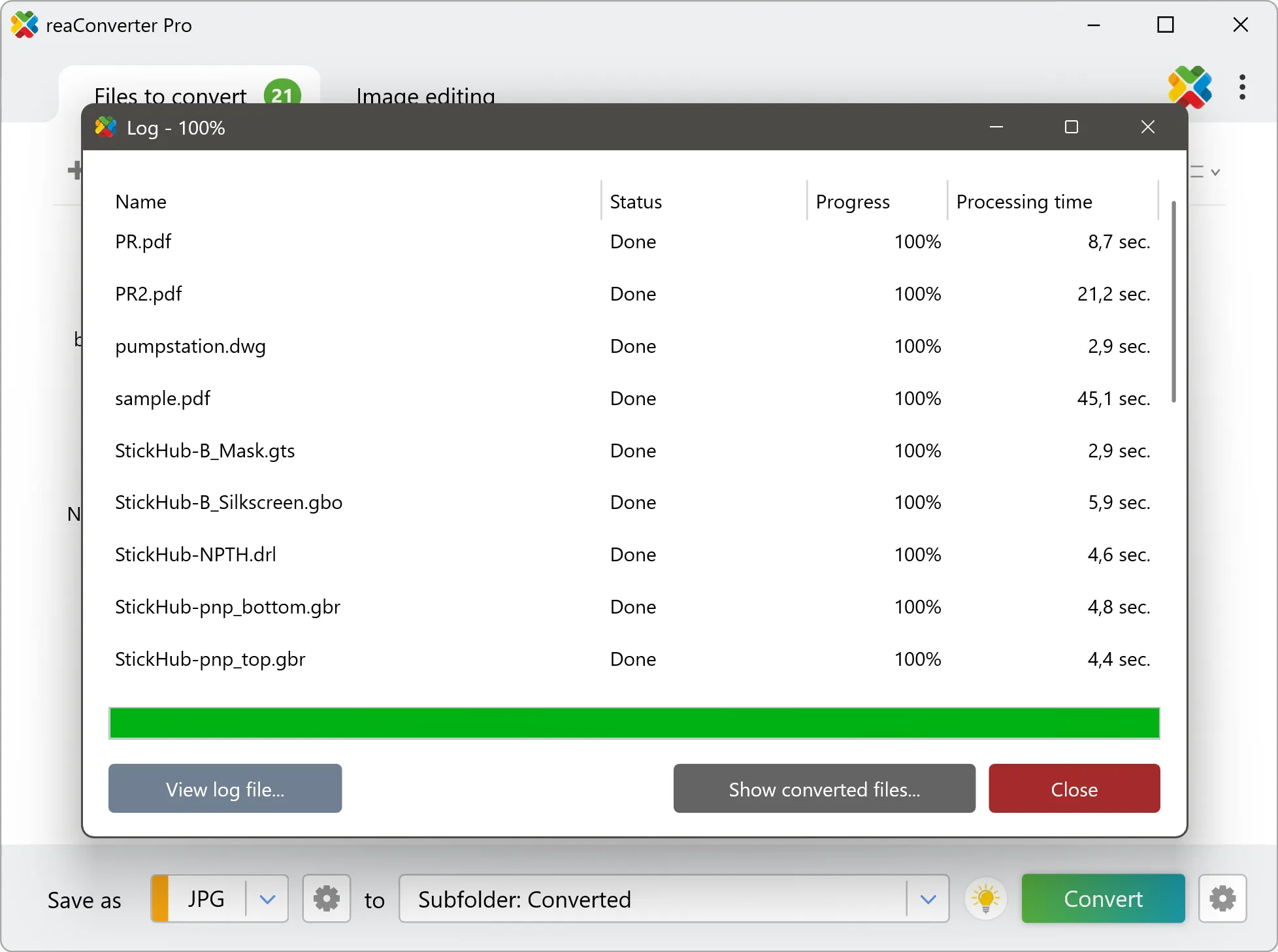
Click Convert to start the batch. reaConverter processes files quickly and shows you the status of each one.

Start Conversion

Once done, reaConverter shows a summary. Click 'Show converted files' to jump straight to your TIF output.

Step by step

How It Works

reaConverter offers the fastest, simplest solution for converting your TOPOJSON files into TIF without GIS software - all files processed on your PC for maximum privacy and speed.

Technical note

TOPOJSON to TIF: what to expect from the conversion

A TOPOJSON file holds geometry and an attribute table, and nothing at all about appearance. Colours, line weights, fills and labels are properties of the GIS project rather than of the file, which is why the same TOPOJSON looks different in every program that opens it. The TIF render therefore falls back on defaults and will not match the styled map you see in QGIS or ArcGIS. Expect a clean drawing of the geometry rather than a finished cartographic product. TOPOJSON describes geometry rather than pixels, so it has no inherent resolution. The conversion renders it at whatever size you choose, and that choice is final: enlarging the TIF afterwards will not recover the sharpness. Set the output dimensions or DPI before converting, not after.

Map Data Workflow

Turn GIS data into something anyone can open

A map saved as TIF opens on any computer and any phone. reaConverter produces those from TOPOJSON in batch, entirely offline.

  • Render every file in a folder to TIF with the same size and settings
  • Set DPI and output dimensions before the run, not afterwards
  • Stamp a text watermark, such as a project name or a date, on every image
  • Pick up new data automatically with Watch Folders, or script the job from the command line

Everything runs on your PC, which matters for cadastral, utility and client data that should not pass through an upload form.

GIS data conversion

User reviews

What people say after the first batch

Average User Rating:4.8
Last updated on September 13, 2026
We rolled out reaConverter across our 500+ user environment to standardize image assets for our CMS. The command-line integration and batch scripting capabilities saved us weeks of manual work. It handles everything from legacy TIFFs to WebP conversions without breaking a sweat — plus, the Active Directory compatibility made deployment seamless. A must-have for IT teams managing digital assets at scale.
Robert Coleman
Robert Coleman
Senior Systems Administrator
When I needed to convert TIF to JPG, I scoured countless sites — until finding this perfectly simple online solution. Since I wanted to avoid software installs, the web converter was ideal!
Andrew White
Andrew White
Happy Online User
5/5⭐ Finally! Does what it promises - converts AND tweaks images without complicated menus. Perfect for quick jobs.
J. Mitchell
J. Mitchell
Satisfied Customer
reaConverter is pure gold! Rock-solid performance with zero crashes. No internet needed—perfect for travel or low-connectivity work. The ultimate offline alternative to sketchy web converters. Plus, the desktop version keeps sensitive files secure since nothing ever gets uploaded to the cloud.
Malik T. Martin
Malik T. Martin
Satisfied Customer
I was skeptical at first, but reaConverter exceeded my expectations. The interface is intuitive, and the advanced settings let me tweak outputs perfectly. Plus, the customer support is fantastic!
Sarah Lane
Sarah Lane
Satisfied Customer
Finally an app that actually opens my weird files! Saves me from format frustration daily.
Kyle Brooks
Kyle Brooks
Happy User

FAQ

TOPOJSON to TIF Conversion

Can reaConverter convert TOPOJSON to TIF?

Yes! reaConverter instantly converts .topojson to .tif with perfect quality preservation. With its batch processing feature, you can convert multiple files at once in just a few clicks. You can even convert images directly from Windows Explorer using the right-click menu — fast and convenient.

What is reaConverter used for?

reaConverter is a Windows converter for 800+ formats, GIS data among them. For TOPOJSON to TIF it replaces the usual detour through QGIS, ArcGIS or ogr2ogr: add the files, pick the output format, and the whole batch converts offline. Surveyors, planners and engineering teams use it to pass data between GIS, CAD and everyday document formats.

Why choose offline conversion with reaConverter?

reaConverter is a software program that is used for offline files conversion. Your proprietary documents never leave your computer – essential for architects, engineers, healthcare and government contractors handling classified projects. Meets GDPR, HIPAA, CCPA, and corporate security policies by ensuring files never cross borders or third-party systems.

Can I convert TOPOJSON to TIF online?

If you only need to convert a few TOPOJSON files to TIF format, feel free to try our free online free online TOPOJSON to TIF converter — perfect for small batches with no installation needed!

How can I turn TOPOJSON files into TIF on my computer?

The best way to change TOPOJSONs to TIFs on your PC is to install a quality piece of software, such as reaConverter. This software is extremely efficient in managing a wide range of batch files conversions, including conversion from TOPOJSON to TIF.

How can I automate TOPOJSON to TIF files conversion?

reaConverter supports all the most useful automation features such as right-click сonversion and Watch Folders for the most efficient automated files conversion in any software of this type.

Is there a way to convert TOPOJSON files to TIF using the command prompt?

reaConverter provides full access to all its features via Windows command line, including a high-performance command-line topojson to tif converter for batch processing.

What else can I do with reaConverter?

Convert GIS filesConvert vector imagesChange image DPIConvert DICOM imagesCrop picture

Related conversions

Other ways to convert TOPOJSON files, and other sources that convert to TIF.
Discover More

Beyond format conversion

Batch conversion, editing, and processing across 800+ formats, from RAW and HEIC to DICOM, DWG, and PDF. Everything runs locally, with no cloud and no upload limits.

Free trial · Windows 10/11 · v8.0.250 · Files never leave your computer

reaConverter software