N1 → DWG · Windows

Convert N1 to DWG

Online GIS converters cap file size and need an upload. reaConverter converts N1 to DWG locally, whatever the size of the dataset.

reaConverter transforms N1 files to DWG quickly and reliably. Drag in folders, set your options, click Convert, done. No cloud accounts, no file uploads, no complicated setup. Just install and start converting. Survey and cadastral data stays on your machine, with no upload at any point.

.n1.DWG
4.8

Converting files since 2001

Runs offline — nothing uploaded

Read what our users say →

How to Convert Multiple .n1 Images to .dwg?

1. Download and Install reaConverter

reaConverter installs quickly on any Windows PC. No dependencies, no bloatware — just a clean setup that's ready to use immediately. Need edits? Resize, rotate, or add watermarks during conversion.

2. Load your N1 files

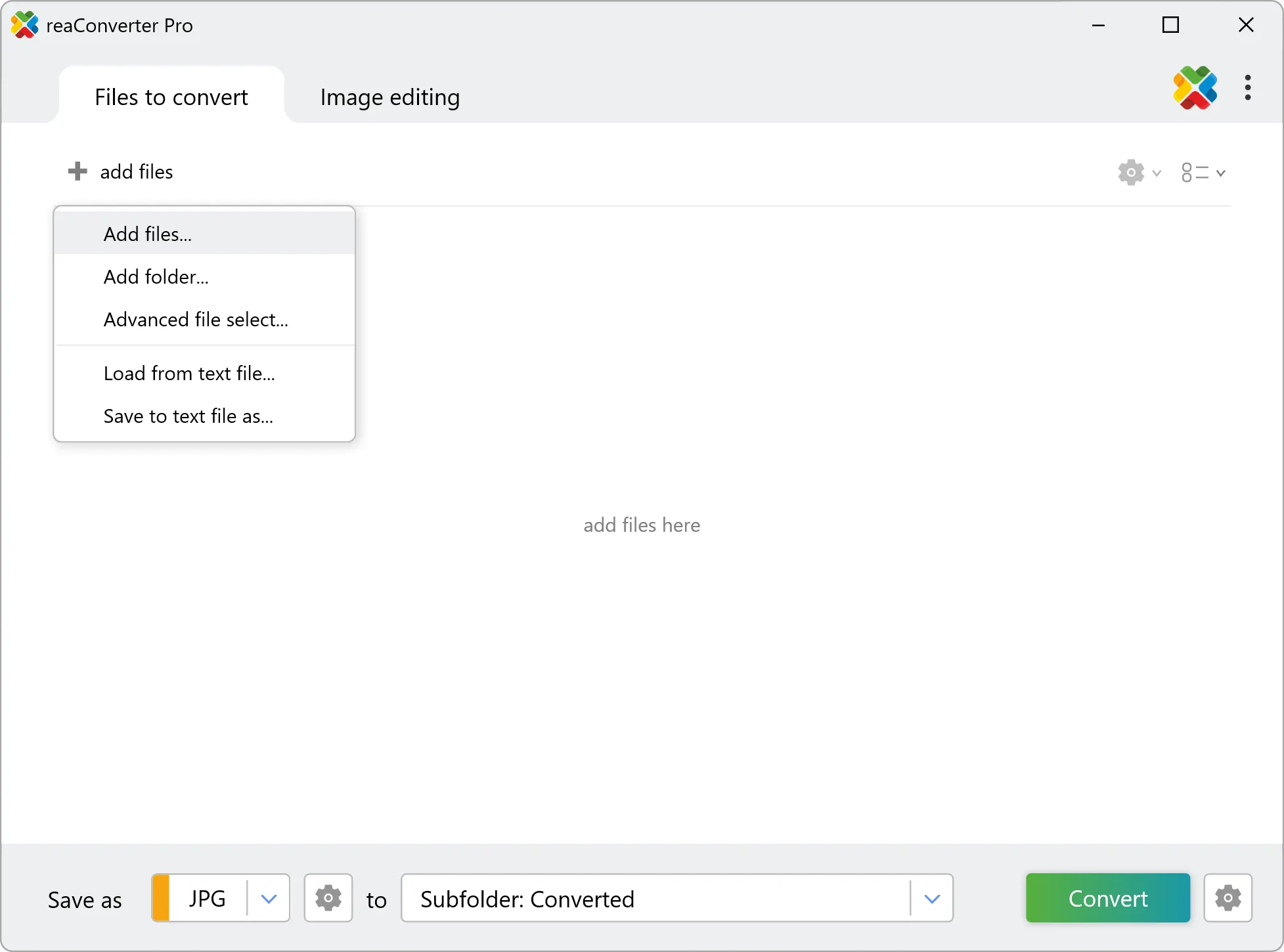
Launch reaConverter and load the N1 files you want to convert. Add a few files or thousands, batch processing handles them all.

Browse for files, drag them in, or add entire folders at once. reaConverter queues everything automatically.

Load your N1 files into reaConverter

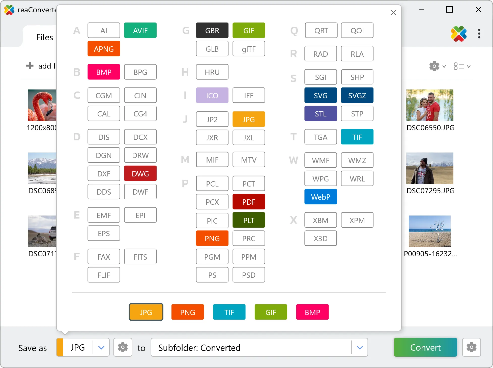
3. Select DWG as output format

Pick DWG as the output format. If the data is going back into a GIS, choose a format that keeps coordinates and attributes; JPG, PNG and PDF suit maps for reports and slides.

Select DWG as output format

4. Start N1 to DWG conversion

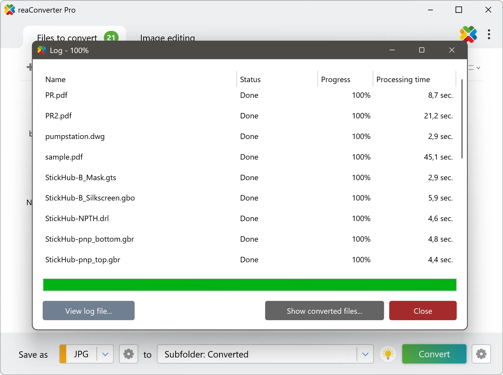
Start the conversion with one click. reaConverter handles everything and notifies you when it's done.

Start Conversion

When the batch finishes, your DWG files are ready in the destination folder you chose earlier.

Step by step

How It Works

reaConverter offers the fastest, simplest solution for converting your N1 files into DWG without GIS software - all images processed on your PC for maximum privacy and speed.

Technical note

N1 to DWG: what carries over and what does not

Geospatial coordinates are absolute positions on the earth, and they are large: a projected easting runs to six or seven digits, while latitude and longitude are small decimals. DWG expects a drawing laid out near its own origin in millimetres or inches. The geometry itself converts correctly, but it can land tens of kilometres from 0,0, or arrive at a scale where an entire county is forty units across. Zoom to extents first, then measure one known distance before dimensioning anything. N1 is made of pixels and DWG stores geometry, so the conversion traces the image into real lines, arcs and polylines. The result is editable in CAD: entities can be selected, snapped to and measured, rather than a bitmap wrapped inside a DWG container, which is what a viewer or a lightweight converter usually produces. It is still derived geometry, so expect contours rather than a structured drawing. Dimensions, blocks and meaningful layer names were never in the N1 to begin with.

Map Data Workflow

From map data to a working drawing

Converting N1 to DWG usually means handing GIS data to someone who works in CAD. reaConverter makes that hand-off without a GIS seat on either side, for one layer or a whole delivery.

  • Convert every layer in a folder to DWG with the same settings
  • Go the other way too, from DWG to Shapefile, when the GIS team needs the drawings back
  • Render the same data to PDF for a quick review copy
  • Pick up new data automatically with Watch Folders, or script the job from the command line

Everything runs on your PC, which matters for cadastral, utility and client data that should not pass through an upload form.

GIS data conversion

User reviews

What people say after the first batch

Average User Rating:4.8
Last updated on September 13, 2026
I previously used a similar program that stopped working, so I needed to find a replacement. reaConverter turned out to be the perfect solution—after reviewing the instructions on this page, I was able to convert DWG files immediately.
Jason Chen
Jason Chen
Satisfied Customer
When I switched from Mac to Windows, I couldn't open my old DWG files. reaConverter saved me – it converted them all to PDF and JPG with perfect scaling. Now I can view my CAD portfolio on any device. Thank you for making cross‑platform work possible!
David O.
David O.
Satisfied Customer
After nearly two years of relying on online converters, I finally installed standalone software. Why didn't I do this sooner? Now I can work completely offline — no more wasted time uploading/downloading or eating through my data allowance!
Lisa Robinson
Lisa Robinson
Satisfied Customer
I'm a construction project manager, and I get DWG files from architects every week. reaConverter turns them into high‑res PDFs for my field team in seconds. No more AutoCAD licenses needed for everyone – just a simple converter that works. Total game‑changer.
Jessica Reynolds
Jessica Reynolds
Project Manager
I typically avoid installing too many programs to keep my hard drive clutter-free, but constantly uploading/downloading files for conversion became too time-consuming. That's why I chose reaConverter when I needed to transform DWG files into readable PDFs—and it performs flawlessly!
Bruce Howard
Bruce Howard
Satisfied Customer
As someone new to CAD file conversion, I was impressed by how effortlessly reaConverter transformed complex DWG files into publication-ready JPGs. The process was remarkably intuitive compared to other tools I've tested.
Jennifer Garcia
Jennifer Garcia
Satisfied Customer

FAQ

N1 to DWG Conversion

Can reaConverter convert N1 to DWG?

Yes! reaConverter instantly converts .n1 to .dwg with perfect quality preservation. With its batch processing feature, you can convert multiple files at once in just a few clicks. You can even convert images directly from Windows Explorer using the right-click menu — fast and convenient.

What is reaConverter used for?

reaConverter is a Windows converter for 800+ formats, GIS data among them. For N1 to DWG it replaces the usual detour through QGIS, ArcGIS or ogr2ogr: add the files, pick the output format, and the whole batch converts offline. Surveyors, planners and engineering teams use it to pass data between GIS, CAD and everyday document formats.

Why choose offline conversion with reaConverter?

reaConverter is a software program that is used for offline files conversion. Your proprietary documents never leave your computer – essential for architects, engineers, healthcare and government contractors handling classified projects. Meets GDPR, HIPAA, CCPA, and corporate security policies by ensuring files never cross borders or third-party systems.

Can I convert N1 to DWG online?

If you only need to convert a few N1 files to DWG format, feel free to try our free online free online N1 to DWG converter — perfect for small batches with no installation needed!

How can I turn N1 files into DWG on my computer?

The best way to change N1s to DWGs on your PC is to install a quality piece of software, such as reaConverter. This software is extremely efficient in managing a wide range of batch files conversions, including conversion from N1 to DWG.

How can I automate N1 to DWG files conversion?

reaConverter supports all the most useful automation features such as right-click сonversion and Watch Folders for the most efficient automated files conversion in any software of this type.

Is there a way to convert N1 files to DWG using the command prompt?

reaConverter provides full access to all its features via Windows command line, including a high-performance command-line n1 to dwg converter for batch processing.

What else can I do with reaConverter?

Convert vector imagesChange image DPIConvert CAD formatsChange file dateConvert RAW photo formats

Related conversions

Other ways to convert N1 files, and other sources that convert to DWG.
Discover More

Beyond format conversion

Batch conversion, editing, and processing across 800+ formats, from RAW and HEIC to DICOM, DWG, and PDF. Everything runs locally, with no cloud and no upload limits.

Free trial · Windows 10/11 · v8.0.250 · Files never leave your computer

reaConverter software