100% Secure & Private
CT1 Converter
Need to convert CT1 images to other formats? reaConverter does it in batch. No file limits, no watermarks, no internet required.


How to Convert .ct1 Images in Bulk
1. Install reaConverter

2. Select CT1 Files
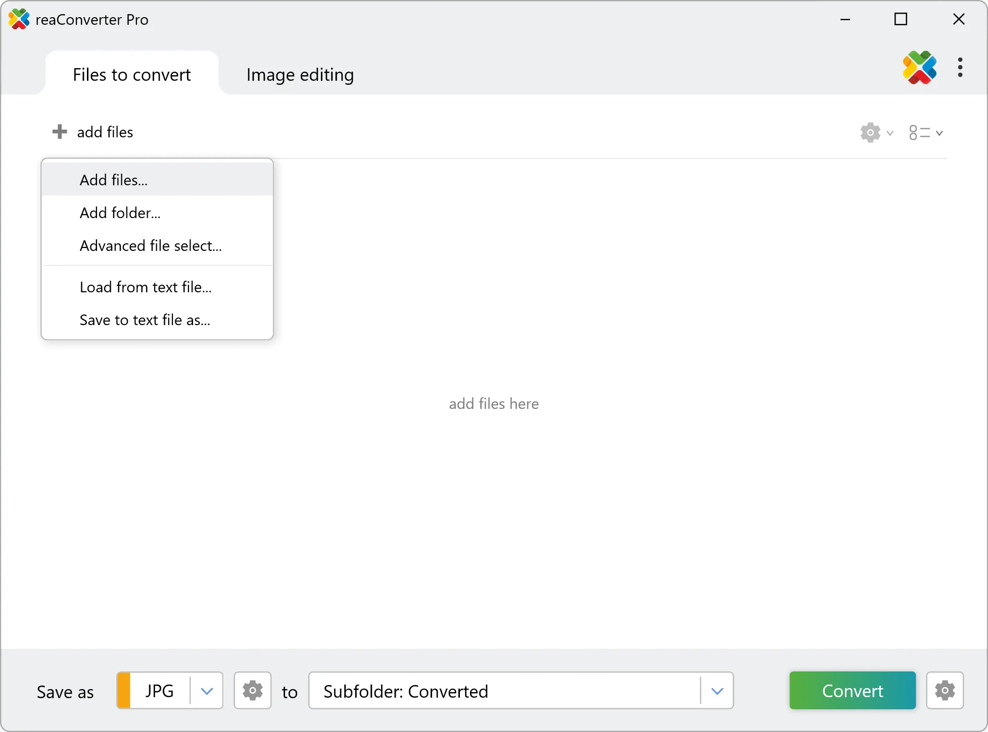
3. Start Conversion
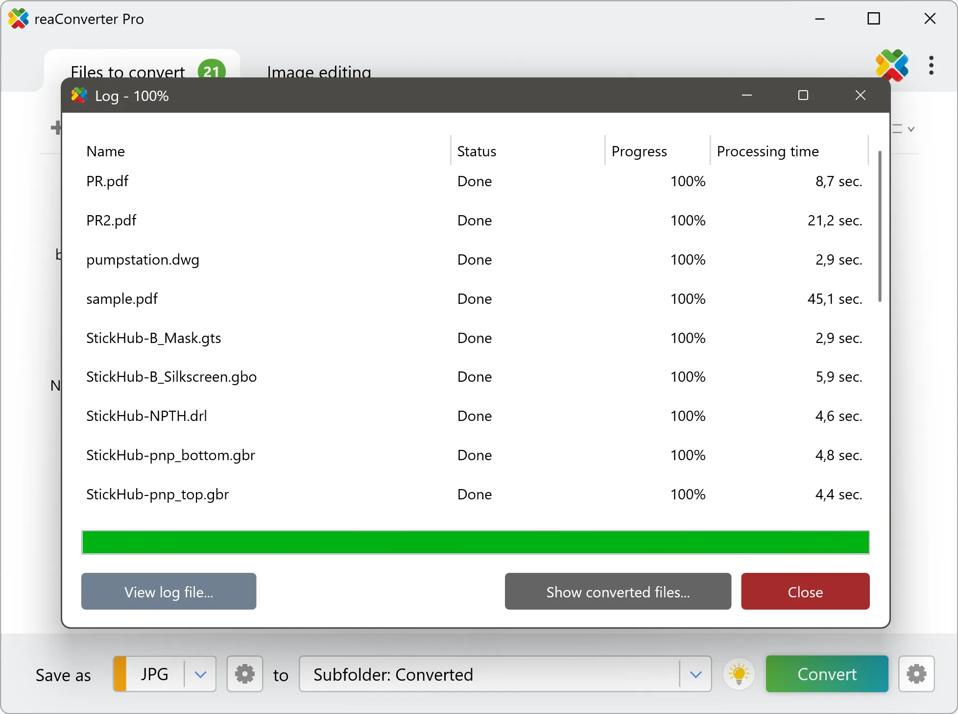
Step by step
See It in Action
For quick and effortless CT1 file handling on your PC, reaConverter offers powerful conversion tools with batch processing. Best of all, it works entirely offline — ensuring your sensitive data never leaves your computer.
Edit & Enhance
Do more with your images
Converting CT1 images for use in a workflow? Touch up, transform, apply editing and effects to your images during conversion.
Our range of editing options includes such image processing actions as Resize, Rotate, Crop, Color Replace, Watermarks and more. Adjust actions include RGB, HLS, HSV, Brightness and Contrast. Auto-processing options are also available, such as auto-rotate and auto-crop.
User reviews
From those who tried it
Average User Rating:Last updated on July 28, 2026



Questions & Answers
CT1 images: Frequently Asked Questions
What are CT1 files?
CT1 (CALS Raster Type 1) is a bilevel raster format specified by MIL-R-28002 for the exchange of scanned technical documents. The file begins with a 2048-byte header made of sixteen 128-byte ASCII records, each holding a tagged field: source and destination document identifiers, text and figure identifiers, document class, raster type (fixed to 1), orientation, pixel count, and density. The orientation field gives the pel path and line progression angles, such as 000,270 for a standard upright page, while the pixel count field gives the width and height as zero-padded six-digit numbers, and the density field gives the resolution, commonly 200, 300, or 400 dpi. The header is followed by a single image compressed with CCITT Group 4 (T.6), in which each line is encoded as differences from the line above, producing very compact files for line art. Conversion to graphics requires decoding the T.6 stream, rotating the image according to the orientation field, and applying the density as image resolution. The resulting 1-bit bitmap can be saved as a TIFF with Group 4 compression to preserve the original size, as a PDF, or as PNG or JPEG, where it is usually expanded to 8-bit grayscale. Supported by IrfanView, XnView, and Quick View Plus.
Can reaConverter open CT1 files?
reaConverter fully supports the CT1 image format – open, edit, and export CT1 files to any other popular file format with ease.
How do I change CT1 to another format?
reaConverter is a user-friendly tool for converting CT1 files. Once installed on your computer, it allows you to convert all your .ct1 files at once with just a few clicks. You can even convert ct1 images directly from Windows Explorer using the right-click menu — fast and convenient.
Can I convert CT1 online?
If you only want to convert a few CT1 images, you are welcome to try our free online CT1 converter.
How can I turn CT1 files on my computer to another format?
The best way to convert CT1 images on your PC is to get a quality piece of software, such as reaConverter. This software is extremely efficient in managing a wide range of batch files conversions, including conversion from CT1.
How can I automate CT1 files conversion?
reaConverter supports all the essential automation features, such as right-click сonversion and Watch Folders, for the most efficient automated file conversion in any software of its kind.
Can I convert CT1 files using scripts or the command-line interface?
reaConverter provides full access to all its features from the Windows command-line shell, including the command-line ct1 converter.
What else can I do with reaConverter?
Change format settingsCopy metadata (EXIF, IPTC)Convert medical imagesChange photo sizeConvert DICOM files
What formats can I convert a CT1 file to?
Discover More
Beyond CT1 conversion
Convert .ct1 files in batches of any size, with editing and processing applied along the way. The same tool also handles 800+ other formats, including CAD, medical imaging, and GIS.