DT0 → JXL · Windows

Convert DT0 to JXL

Batch convert DT0 to JXL on an ordinary Windows PC. No GIS licence, no command line, the same settings applied to every file.

Manual DT0 to JXL conversion wastes hours. reaConverter automates the process — just add files and click Convert. Everything happens offline on your computer. No uploads, no cloud risks. Works without QGIS or ArcGIS, so GIS data can be converted on any office PC.

.dt0.JXL
4.8

Converting files since 2001

Runs offline — nothing uploaded

Read what our users say →

How to Convert Multiple .dt0 Files to .jxl?

1. Download and Install reaConverter

reaConverter installs quickly on any Windows PC. No dependencies, no bloatware — just a clean setup that's ready to use immediately.

2. Load your DT0 files

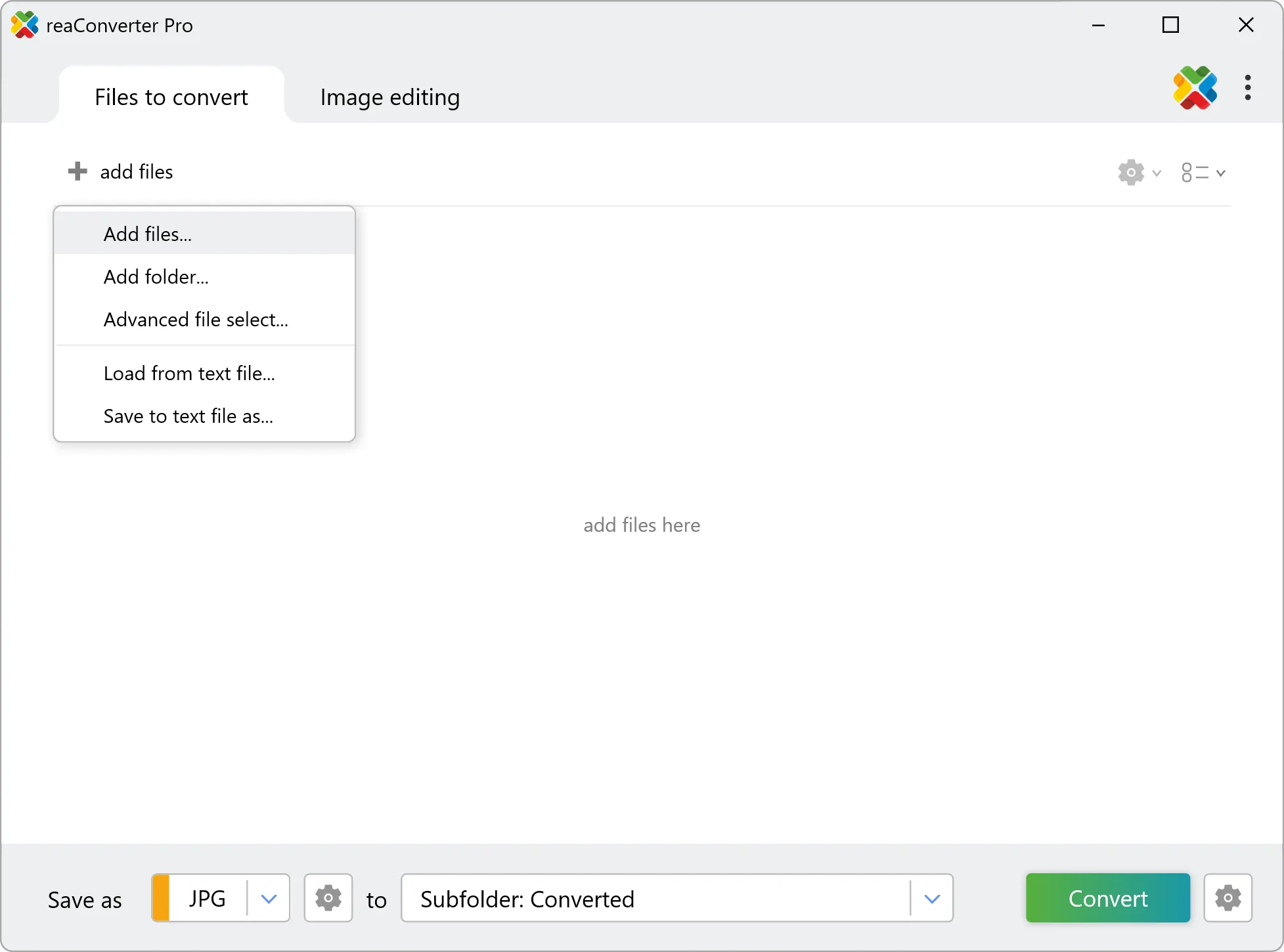
Open reaConverter and add your DT0 files. You can load individual files, entire folders, or even nested subfolders.

Drop your DT0 files into the window or use File menu to browse and select folders.

Load your DT0 files into reaConverter

3. Select JXL as output format

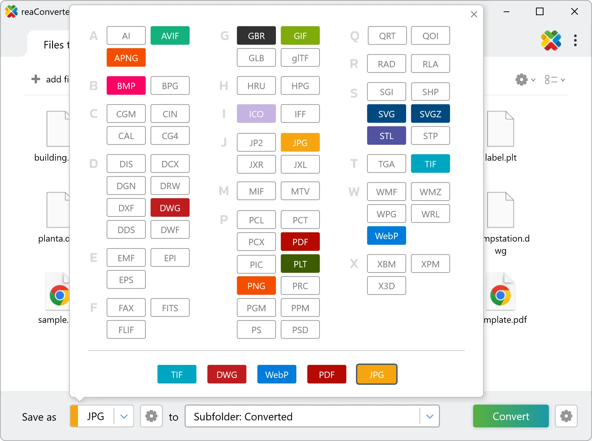
Choose JXL for output and set your save location. reaConverter lets you customize quality and apply edits before conversion.

Select JXL as output format

4. Start DT0 to JXL conversion

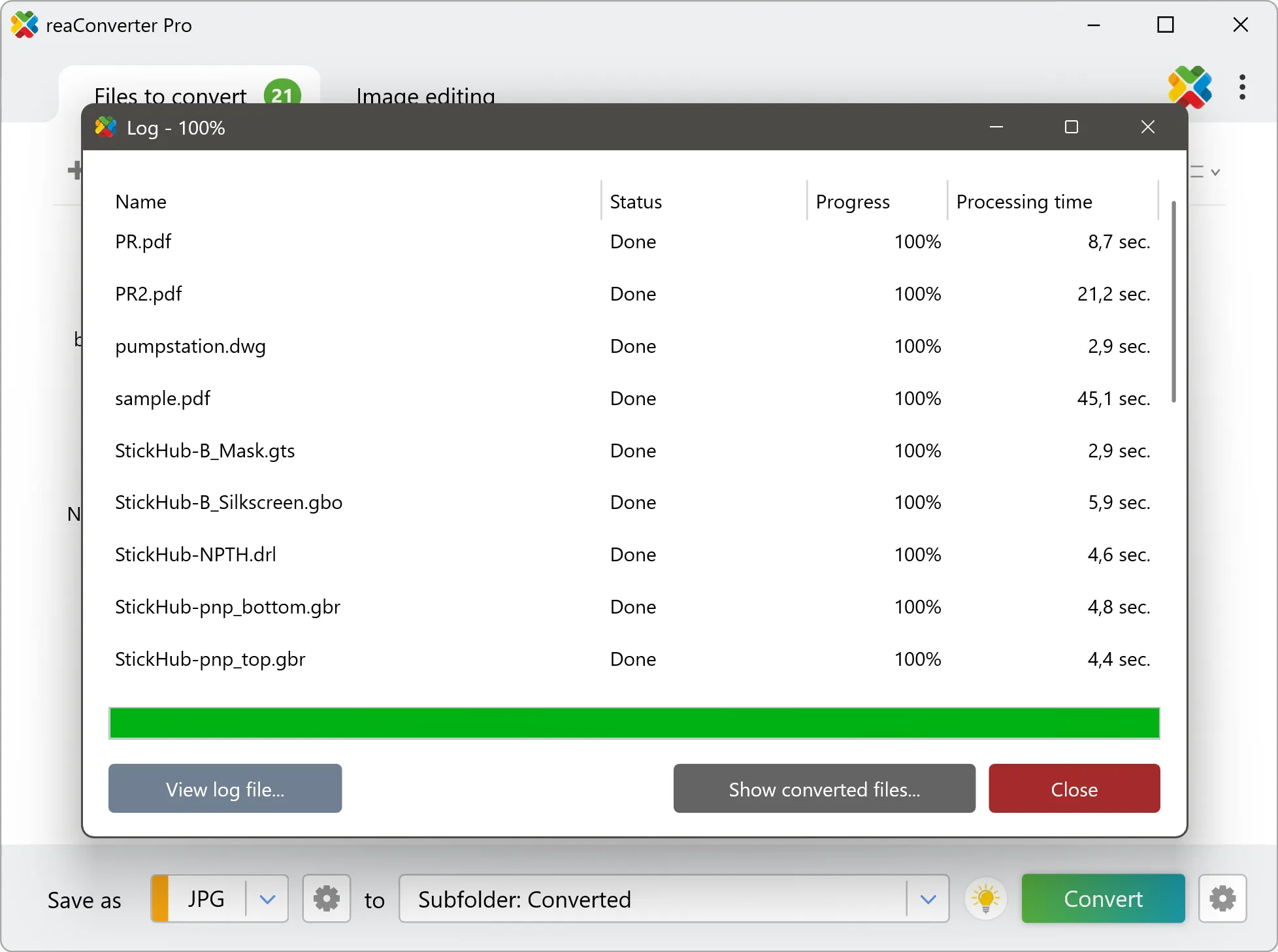
Hit Convert and let reaConverter do the work. The progress window shows status for each file in real time.

Start Conversion

After conversion, find your JXL files in the output folder. Click 'Show converted files' to open it directly.

Step by step

How It Works

reaConverter offers the fastest, simplest solution for converting your DT0 files into JXL without GIS software - all files processed on your PC for maximum privacy and speed.

Technical note

DT0 to JXL: what to expect from the conversion

Every cell in a DT0 file holds a measurement rather than a colour, usually elevation in metres, running from sea level up to whatever the highest point in the tile happens to be. JXL stores brightness, so the conversion stretches that range across a grey or colour scale. What you get is a readable picture of the terrain, and it is the right thing for a relief map or a figure. What you no longer have is the data: sampling a pixel in the JXL returns a shade, not an altitude. Missing cells in an elevation grid, such as water, radar shadow or the edge of a survey, are not empty: they hold a sentinel value, -32768 in SRTM, -32767 in DTED and very often -9999 in ESRI grids. Counted as a real height, that value stretches the scale so far that the actual terrain collapses into a few near-identical shades. When a JXL output looks flat and washed out, a void treated as data is the usual cause.

Map Data Workflow

Turn GIS data into something anyone can open

Not everyone who needs to see DT0 data has GIS software. reaConverter renders it to JXL for a report, an email or a slide, and handles a whole folder in one run.

  • Render every file in a folder to JXL with the same size and settings
  • Set DPI and output dimensions before the run, not afterwards
  • Pick up new data automatically with Watch Folders, or script the job from the command line

Everything runs on your PC, which matters for cadastral, utility and client data that should not pass through an upload form.

GIS data conversion

User reviews

What people say after the first batch

Average User Rating:4.8
Last updated on September 13, 2026
reaConverter’s Watch Folders feature has transformed my workflow! I set it to automatically convert my images to JXL, and now every new file I add gets optimized instantly. JXL keeps my photos crisp at half the file size of JPEGs. Super easy setup, flawless results – a must for batch processing!
Alex R.
Alex R.
Photographer
Switching to JXL format with reaConverter was effortless. The compression is incredible - my images look perfect at half the file size of JPEGs. The batch conversion works flawlessly, saving me storage space without sacrificing quality. JXL is clearly the future, and reaConverter makes adoption painless!
Mark T.
Mark T.
Satisfied Customer
5/5⭐ Finally! Does what it promises - converts AND tweaks images without complicated menus. Perfect for quick jobs.
J. Mitchell
J. Mitchell
Satisfied Customer
reaConverter is pure gold! Rock-solid performance with zero crashes. No internet needed—perfect for travel or low-connectivity work. The ultimate offline alternative to sketchy web converters. Plus, the desktop version keeps sensitive files secure since nothing ever gets uploaded to the cloud.
Malik T. Martin
Malik T. Martin
Satisfied Customer
I was skeptical at first, but reaConverter exceeded my expectations. The interface is intuitive, and the advanced settings let me tweak outputs perfectly. Plus, the customer support is fantastic!
Sarah Lane
Sarah Lane
Satisfied Customer
This software just works! My old laptop can’t handle Photoshop, but reaConverter flies through conversions without breaking a sweat. Wi-Fi gone? Still strong!
Robert Williams
Robert Williams
Happy User

FAQ

DT0 to JXL Conversion

Can reaConverter convert DT0 to JXL?

Yes! reaConverter instantly converts .dt0 to .jxl with perfect quality preservation. With its batch processing feature, you can convert multiple files at once in just a few clicks. You can even convert images directly from Windows Explorer using the right-click menu — fast and convenient.

What is reaConverter used for?

reaConverter is a Windows converter for 800+ formats, GIS data among them. For DT0 to JXL it replaces the usual detour through QGIS, ArcGIS or ogr2ogr: add the files, pick the output format, and the whole batch converts offline. Surveyors, planners and engineering teams use it to pass data between GIS, CAD and everyday document formats.

Why choose offline conversion with reaConverter?

reaConverter is a software program that is used for offline files conversion. Your proprietary documents never leave your computer – essential for architects, engineers, healthcare and government contractors handling classified projects. Meets GDPR, HIPAA, CCPA, and corporate security policies by ensuring files never cross borders or third-party systems.

Can I convert DT0 to JXL online?

If you only need to convert a few DT0 files to JXL format, feel free to try our free online free online DT0 to JXL converter — perfect for small batches with no installation needed!

How can I turn DT0 files into JXL on my computer?

The best way to change DT0s to JXLs on your PC is to install a quality piece of software, such as reaConverter. This software is extremely efficient in managing a wide range of batch files conversions, including conversion from DT0 to JXL.

How can I automate DT0 to JXL files conversion?

reaConverter supports all the most useful automation features such as right-click сonversion and Watch Folders for the most efficient automated files conversion in any software of this type.

Is there a way to convert DT0 files to JXL using the command prompt?

reaConverter provides full access to all its features via Windows command line, including a high-performance command-line dt0 to jxl converter for batch processing.

What else can I do with reaConverter?

Convert GIS filesChange format settingsCopy metadata (EXIF, IPTC)Convert CAD formatsSet manual file date

Related conversions

Other ways to convert DT0 files, and other sources that convert to JXL.
Discover More

Beyond format conversion

Batch conversion, editing, and processing across 800+ formats, from RAW and HEIC to DICOM, DWG, and PDF. Everything runs locally, with no cloud and no upload limits.

Free trial · Windows 10/11 · v8.0.250 · Files never leave your computer

reaConverter software