FAQ
GEOJSONS to CIT Conversion
What are GEOJSONS files?
GEOJSONS is a text file of geographic features in the form defined by RFC 8142, the standard of GeoJSON Text Sequences, which was published in 2017 by Mapbox. Every feature is written as a separate piece of GeoJSON, so the file can grow to any size and still be read one feature at a time, instead of being loaded whole like an ordinary GeoJSON file. What distinguishes it from the simpler line-by-line files with the .geojsonl extension is a special invisible character placed before each feature, which marks exactly where a new record begins. The format has its own media type, application/geo+json-seq, and it is used for exporting and streaming very large collections of points, lines, and polygons.
What are CIT files?
A CIT file represents a black-and-white raster image created using an Intergraph Security, Government and Infrastructure (SG&I) piece of software. Until a few years ago, Intergraph was considered one of largest software developers in the world, and is part of Hexagon AB since 2010. The company provides IT services all over the world to governments and businesses, and apart from the SG&I division it also includes one called Process, Power & Marine (PP&M) and another called Hexagon Geospatial.
Can reaConverter convert GEOJSONS to CIT?
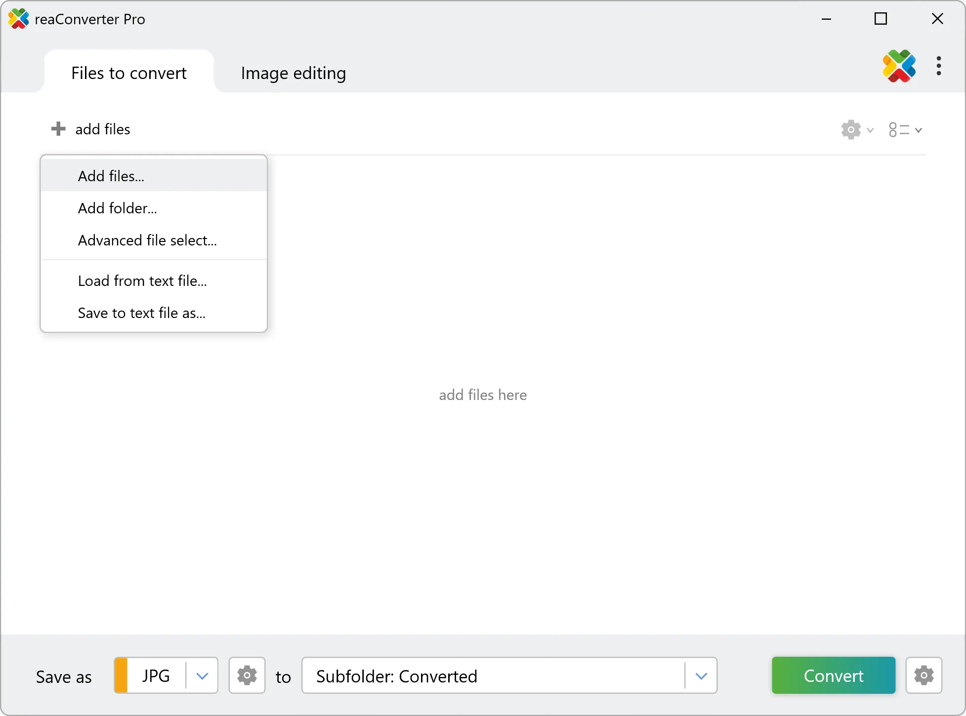
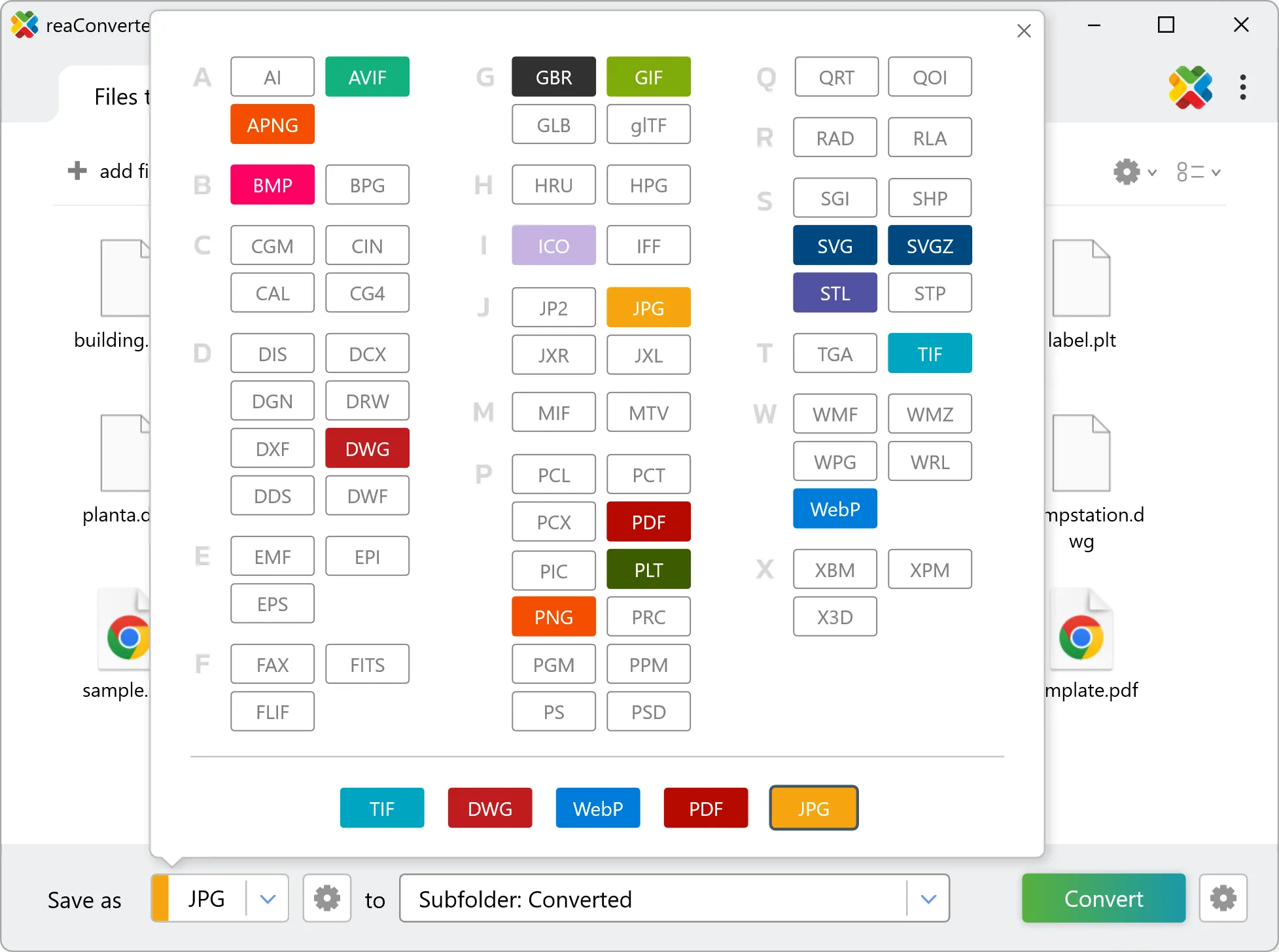
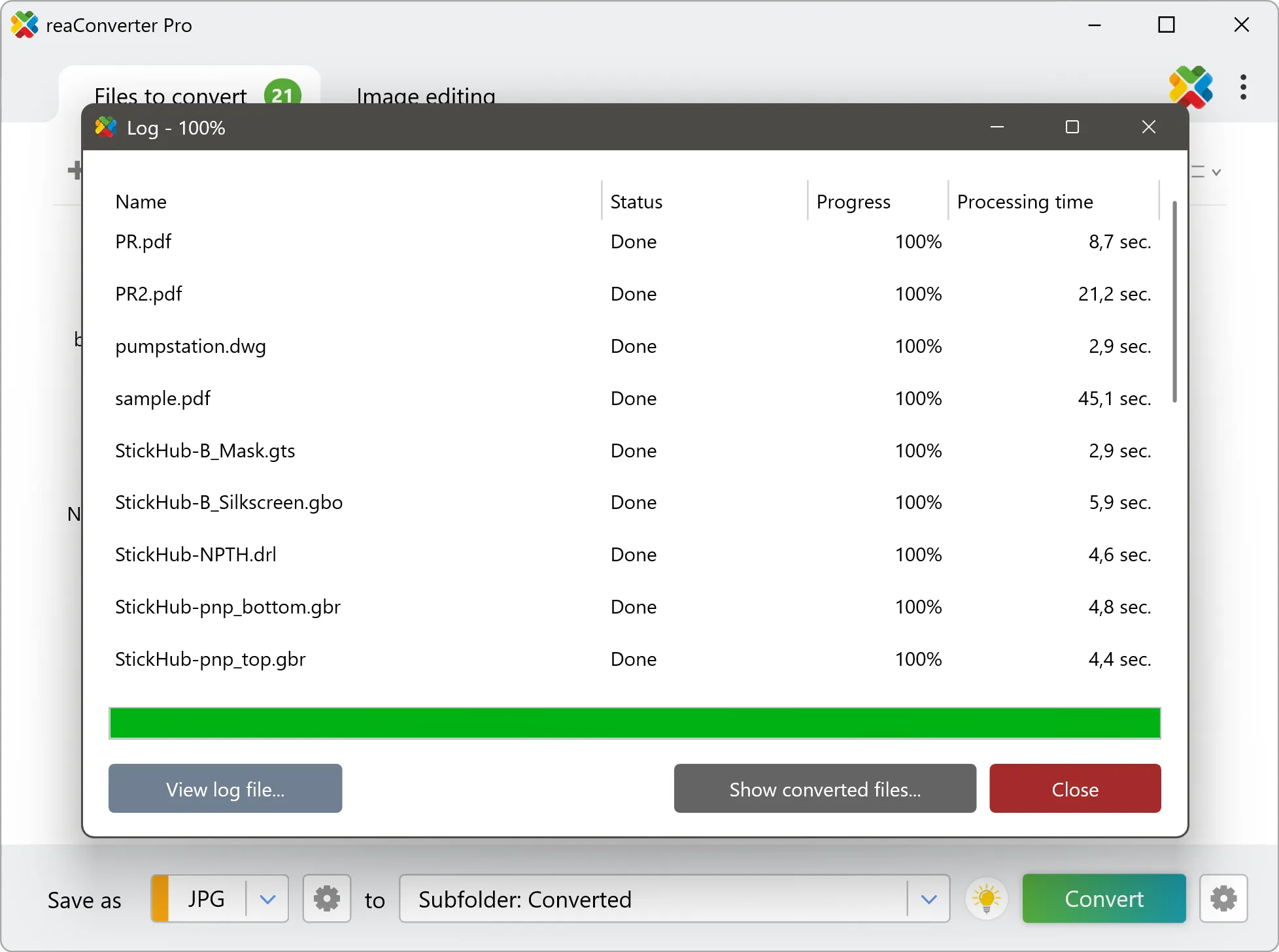
Yes! reaConverter instantly converts .geojsons to .cit with perfect quality preservation. With its batch processing feature, you can convert multiple files at once in just a few clicks. You can even convert images directly from Windows Explorer using the right-click menu — fast and convenient.
What is reaConverter used for?
reaConverter is a Windows converter for 800+ formats, GIS data among them. For GEOJSONS to CIT it replaces the usual detour through QGIS, ArcGIS or ogr2ogr: add the files, pick the output format, and the whole batch converts offline. Surveyors, planners and engineering teams use it to pass data between GIS, CAD and everyday document formats.
Why choose offline conversion with reaConverter?
reaConverter is a software program that is used for offline files conversion. Your proprietary documents never leave your computer – essential for architects, engineers, healthcare and government contractors handling classified projects. Meets GDPR, HIPAA, CCPA, and corporate security policies by ensuring files never cross borders or third-party systems.
Can I convert GEOJSONS to CIT online?
If you only need to convert a few GEOJSONS files to CIT format, feel free to try our free online free online GEOJSONS to CIT converter — perfect for small batches with no installation needed!
How can I turn GEOJSONS files into CIT on my computer?
The best way to change GEOJSONSs to CITs on your PC is to install a quality piece of software, such as reaConverter. This software is extremely efficient in managing a wide range of batch files conversions, including conversion from GEOJSONS to CIT.
How can I automate GEOJSONS to CIT files conversion?
reaConverter supports all the most useful automation features such as right-click сonversion and Watch Folders for the most efficient automated files conversion in any software of this type.
Is there a way to convert GEOJSONS files to CIT using the command prompt?
reaConverter provides full access to all its features via Windows command line, including a high-performance command-line geojsons to cit converter for batch processing.
What else can I do with reaConverter?
Convert PDF filesAdd watermark on imageVectorize imagesChange bit depthChange format settings
Related conversions
Other ways to convert GEOJSONS files, and other sources that convert to CIT.