100% Secure & Private
VIC Converter
Convert VIC data without installing QGIS or writing ogr2ogr commands. reaConverter is an ordinary Windows application with batch mode built in.


How to Convert .vic Files in Bulk
1. Install reaConverter

2. Select VIC Files
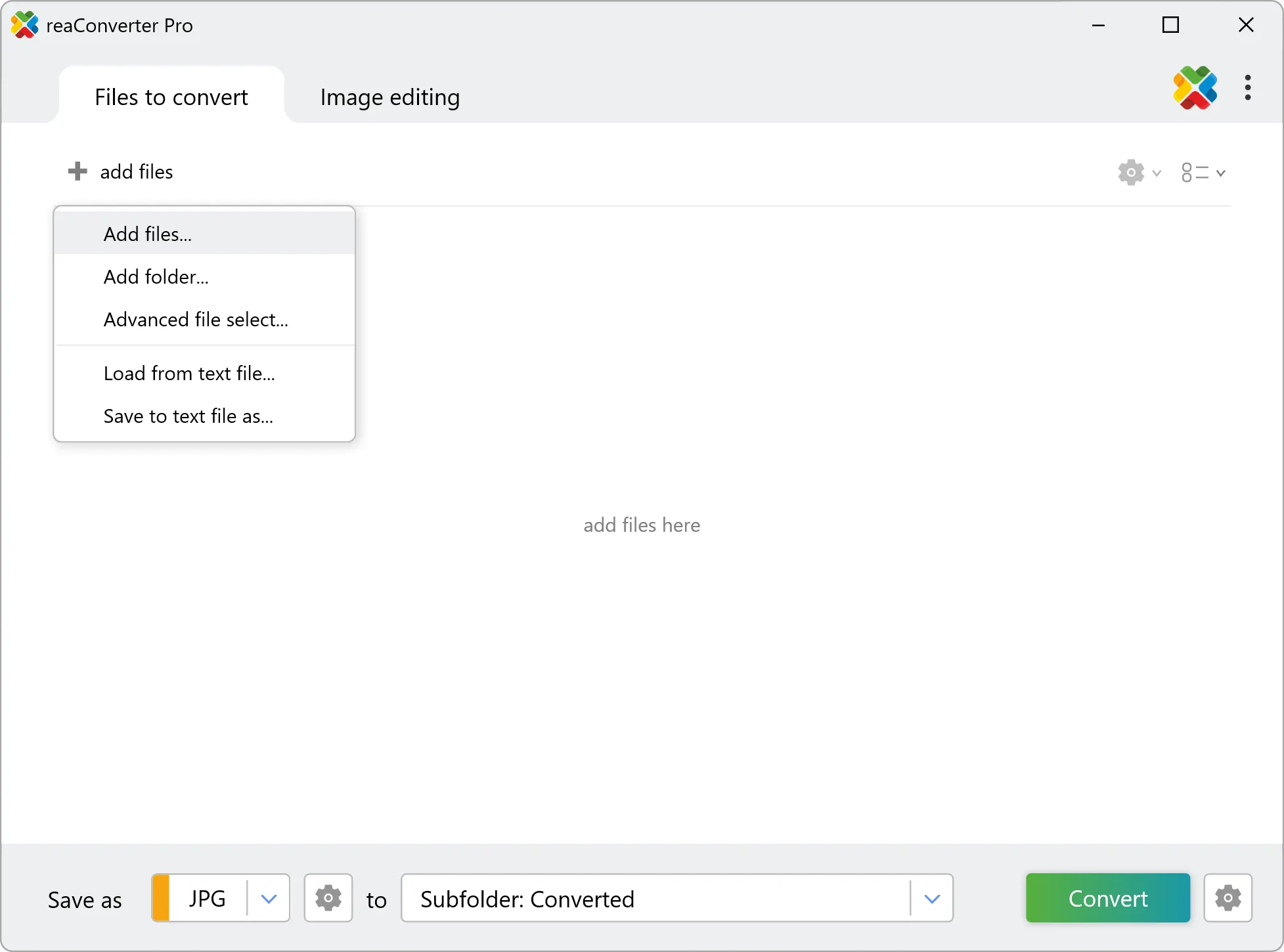
3. Start Conversion
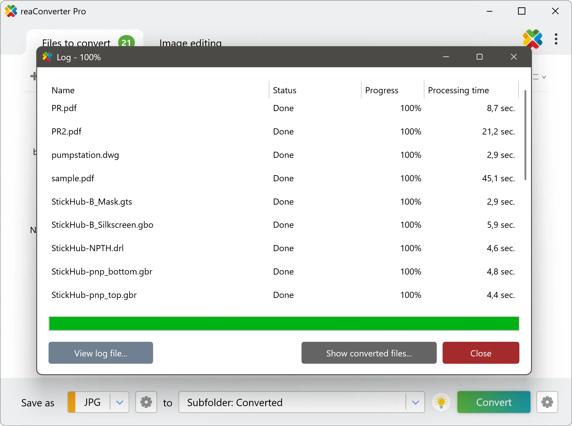
Step by step
See It in Action
For quick and effortless VIC file handling on your PC, reaConverter offers powerful conversion tools with batch processing. Best of all, it works entirely offline — ensuring your sensitive data never leaves your computer.
GIS Toolkit
Do more with your GIS data
Need VIC data as something anyone can open? reaConverter renders imagery and elevation grids into standard images and documents without QGIS or ArcGIS, and works through whole folders in one pass.
- Render imagery, elevation grids and scanned charts to TIFF, PNG, JPG or PDF
- Resize, crop and set DPI on the output in the same run
- Bring tiles, scenes and grids from many sources into one consistent format
- Convert incoming survey and field data automatically with Watch Folders
- Script GIS conversions from the command line for pipelines and scheduled jobs
- Keep cadastral, utility and client data on your PC: nothing is uploaded

User reviews
From those who tried it
Average User Rating:Last updated on July 29, 2026




Questions & Answers
VIC files: Frequently Asked Questions
What are VIC files?
VIC and VICAR are two archaic formats designed in the 1960s by NASA, particularly for storing, transferring and editing interplanetary and astronomical imaging data. The formats were later used in various other industries as well, including biomedical services, cartography and geology. Both VIC and VICAR formats are now considered rare and probably difficult to access outside specialized software.
Can reaConverter open VIC files?
reaConverter fully supports the VIC file format – open, edit, and export VIC files to any other popular file format with ease.
Do I need QGIS or ArcGIS to convert VIC files?
No. reaConverter reads VIC files on its own, so the conversion needs no GIS installation and no licence. It handles whole folders at once, which suits survey archives, tile sets and data deliveries that have to reach people working in other software.
How do I change VIC to another format?
reaConverter is a user-friendly tool for converting VIC files. Once installed on your computer, it allows you to convert all your .vic files at once with just a few clicks. You can even convert VIC files directly from Windows Explorer using the right-click menu — fast and convenient.
Why choose offline conversion with reaConverter?
Keep your sensitive data 100% private with offline processing that never exposes files to cloud risks. Our software meets strict compliance standards (GDPR, HIPAA, CCPA) while handling confidential documents for legal, healthcare and financial sectors.
Can I convert VIC online?
If you only want to convert a few VIC files, you are welcome to try our free online VIC converter.
How can I turn VIC files on my computer to another format?
The best way to convert VIC files on your PC is to get a quality piece of software, such as reaConverter. This software is extremely efficient in managing a wide range of batch files conversions, including conversion from VIC.
How can I automate VIC files conversion?
reaConverter supports all the essential automation features, such as right-click сonversion and Watch Folders, for the most efficient automated file conversion in any software of its kind.
Can I convert VIC files using scripts or the command-line interface?
reaConverter provides full access to all its features from the Windows command-line shell, including the command-line vic converter.
What else can I do with reaConverter?
Convert CAD formatsSet file dateConvert Gerber imagesChange image color spaceConvert GIS files
What formats can I convert a VIC file to?
Discover More
Beyond VIC conversion
Convert .vic files in batches of any size, with editing and processing applied along the way. The same tool also handles 800+ other formats, including CAD, medical imaging, and GIS.