FAQ
DIM to FLIF Conversion
What are DIM files?
DIM (Digital Image MAP) is a metadata-driven format for satellite imagery, developed by the French space agency CNES together with SPOT Image to describe products from the SPOT and Pléiades missions. A dataset consists of an XML file with the .dim extension and one or more image files stored beside it, usually as GeoTIFF or JPEG 2000 rasters, while earlier versions used BIL and TIFF files. The XML document describes the product identification, acquisition date and time, sensor and satellite parameters, geometric processing level, coordinate reference system, band names and order, radiometric calibration values, sun and viewing angles, and the image dimensions. Related files may hold preview images, quality masks, and rational polynomial coefficients for sensor model correction. The format is applied to panchromatic, multispectral, and pan-sharpened scenes at several processing levels, from primary to orthorectified products, and the .dim file acts as the entry point to the whole dataset.
What are FLIF files?
FLIF (Free Lossless Image Format) is a royalty-free format launched at the end of 2015 as "work in progress" with the aim of offering a better alternative for storing lossless images than the existing PNG, WebP, BPG, JPEG2000 and JPEG XR. FLIF provides similar image quality as the other extensions, but in a file size than can be up to 74% smaller. The new format uses a form of the Adam7 algorithm for compressing images, offering progressive interlacing that allows users to obtain a reasonable encoding of an image even from a partial download.
Can reaConverter convert DIM to FLIF?
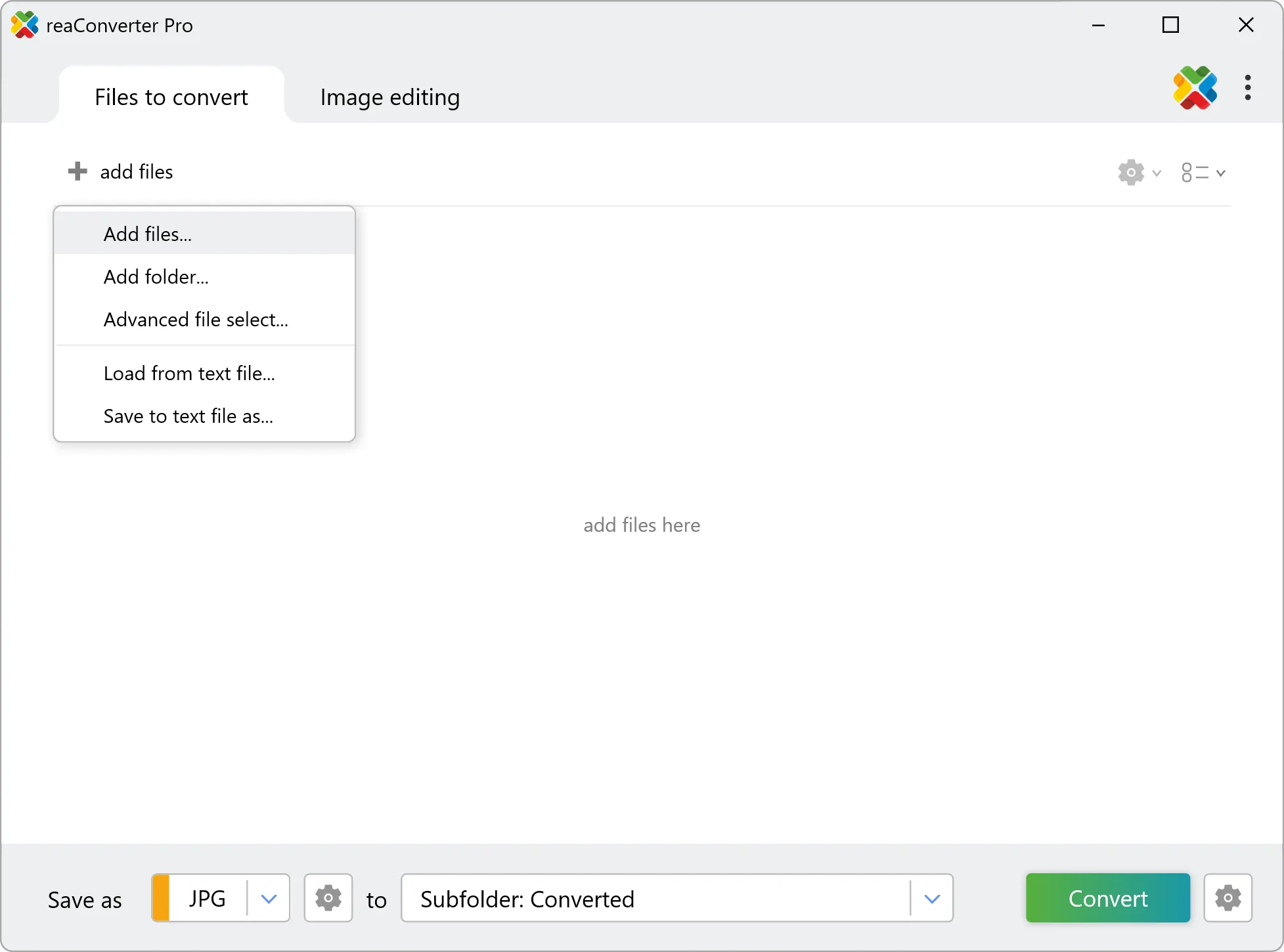
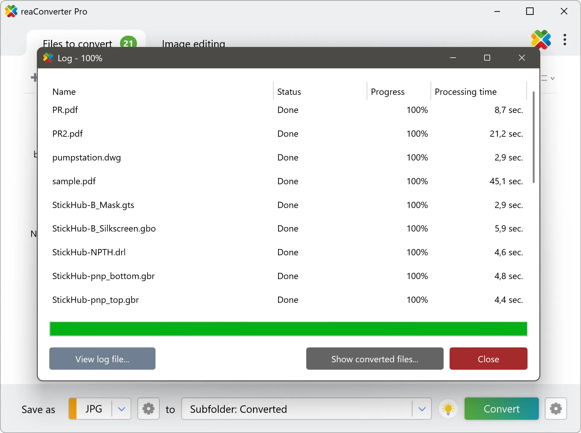
Yes! reaConverter instantly converts .dim to .flif with perfect quality preservation. With its batch processing feature, you can convert multiple files at once in just a few clicks. You can even convert images directly from Windows Explorer using the right-click menu — fast and convenient.
What is reaConverter used for?
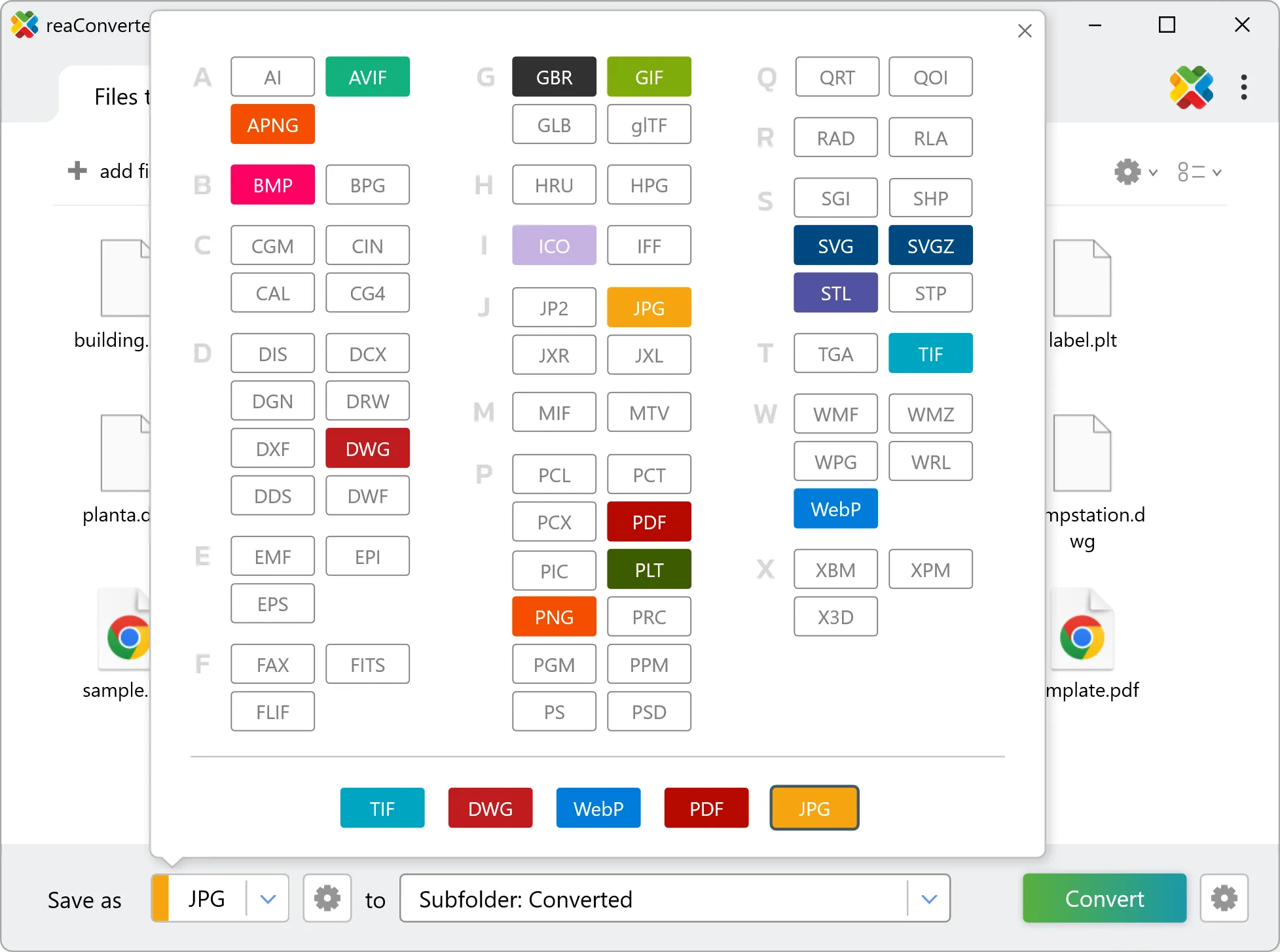
reaConverter is a Windows converter for 800+ formats, GIS data among them. For DIM to FLIF it replaces the usual detour through QGIS, ArcGIS or ogr2ogr: add the files, pick the output format, and the whole batch converts offline. Surveyors, planners and engineering teams use it to pass data between GIS, CAD and everyday document formats.
Why choose offline conversion with reaConverter?
reaConverter is a software program that is used for offline files conversion. Your proprietary documents never leave your computer – essential for architects, engineers, healthcare and government contractors handling classified projects. Meets GDPR, HIPAA, CCPA, and corporate security policies by ensuring files never cross borders or third-party systems.
Can I convert DIM to FLIF online?
If you only need to convert a few DIM files to FLIF format, feel free to try our free online free online DIM to FLIF converter — perfect for small batches with no installation needed!
How can I turn DIM files into FLIF on my computer?
The best way to change DIMs to FLIFs on your PC is to install a quality piece of software, such as reaConverter. This software is extremely efficient in managing a wide range of batch files conversions, including conversion from DIM to FLIF.
How can I automate DIM to FLIF files conversion?
reaConverter supports all the most useful automation features such as right-click сonversion and Watch Folders for the most efficient automated files conversion in any software of this type.
Is there a way to convert DIM files to FLIF using the command prompt?
reaConverter provides full access to all its features via Windows command line, including a high-performance command-line dim to flif converter for batch processing.
What else can I do with reaConverter?
Convert Gerber filesConvert RGB to CMYKVectorize imagesChange image bit depthConvert RAW files
Related conversions
Other ways to convert DIM files, and other sources that convert to FLIF.